|
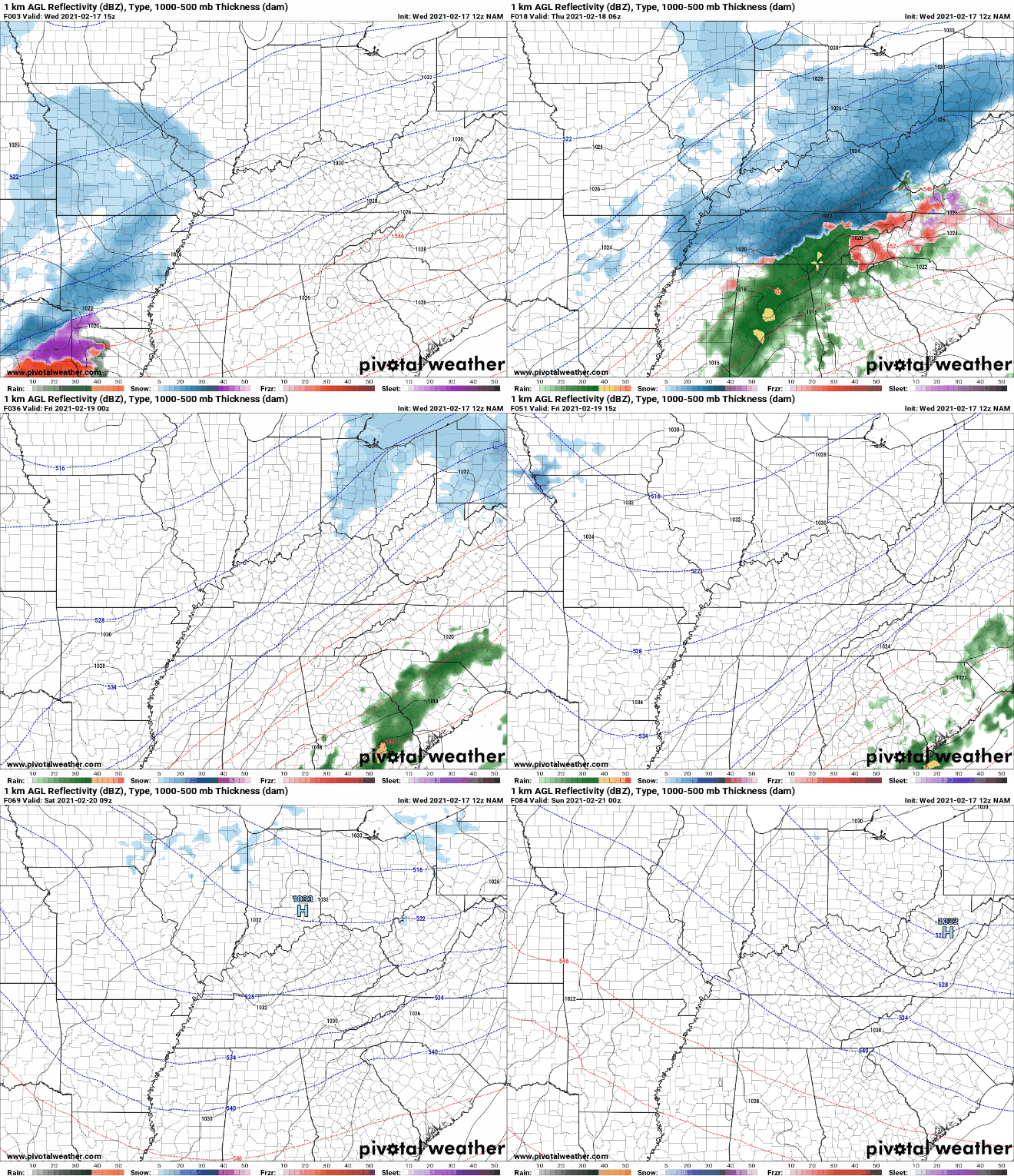
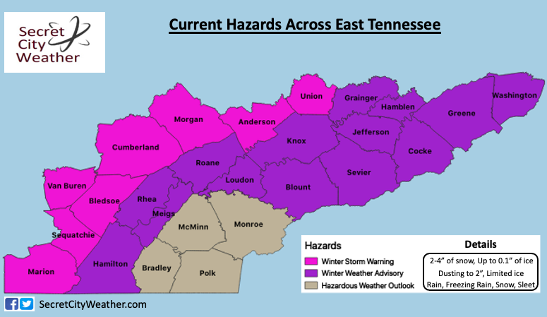
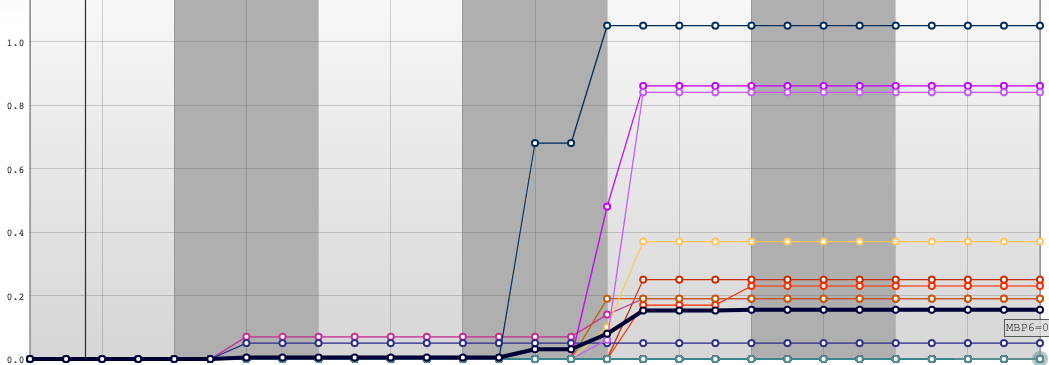
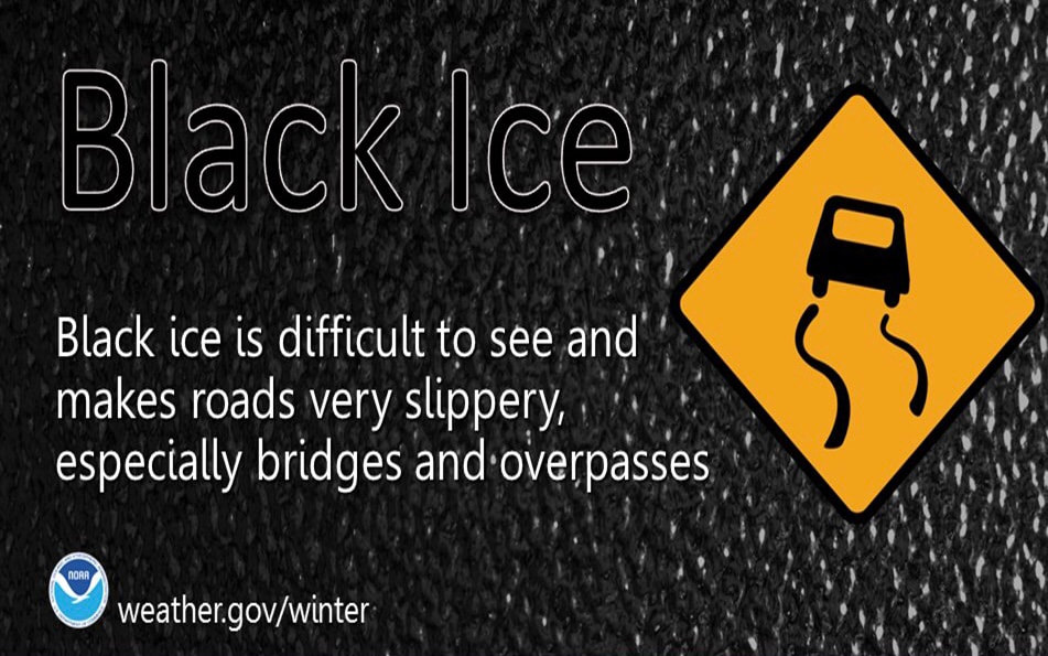
A low pressure system currently resides in the northern Gulf Of Mexico. As moisture surges in through the day, we'll see a wide range of precipitation types through Friday morning. To start with, rain will arrive this evening/overnight before cold air makes a transition to freezing rain and snow. Specifically here in the valley, rain to a light snow is likely. As you can see below, a surge of cold air creates a nosing snow-band through the plateau and western edge of the valley. As temperatures increase Thursday, this mixed precipitation will turn to all rain throughout the day. By Thursday night, a transition back to light snowfall & flurries is likely. Following this system, anticipate warmer highs and sunshine for the weekend. The current hazards issued by the NWS can be seen below. I have also included the details you should expect based on your highlighted county. Keep in mind topography and how that will play a roll in what precipitation you will see. For example, the western portions of Anderson, Roane, and Rhea are much higher than the eastern half of the county. This means enhanced snow totals are likely for the western side of the county. The same can be said for the eastern side of Sevier, Cocke, Greene, and Washington (with the Smokies). Generally speaking, the valley will see a dusting to 2 inches over the course of this event. Two inch totals are more likely for the northern valley, the decrease in elevation along the Winter Storm Warning, and again for the elevation incline along the Smokies. Areas shaded pink could see 2-4" with locally higher amounts up to 6" possible. Will Knoxville generally the "heart" of East Tennessee, snow totals look grim. Ensemble data suggests a few tenths of an inch of snow at best. If you refer to the model gif at the top of the blog, areas to the right of the cold nose will see rain more than snow (unfortunately where Knoxville falls). Elevation and warmer valleys will also account for more rainfall than wintry mix. Regardless of where you live snow & black ice will be a concern Thursday morning and again Friday morning. With snowfall and ice a larger concern for the plateau, Smokies, and northern valley (bordering Kentucky) use extreme caution if you must be out on the roads. Take your time, give yourself plenty of distance to make a decision, slow down. For more information, view our daily video forecast below and check out @SecretCityWx on Twitter & Facebook. We'll continue to update the latest on our social media outlets which can also be found on the right side of this page (scroll down a bit). Reports tonight through Friday would be great and you can do so by commenting here, tagging us on Twitter/Facebook, or emailing those to us at [email protected] Pre-recorded for 5pm show
0 Comments
Leave a Reply. |
Your trusted source for everything weather in East Tennessee.
Social Media
|


