|
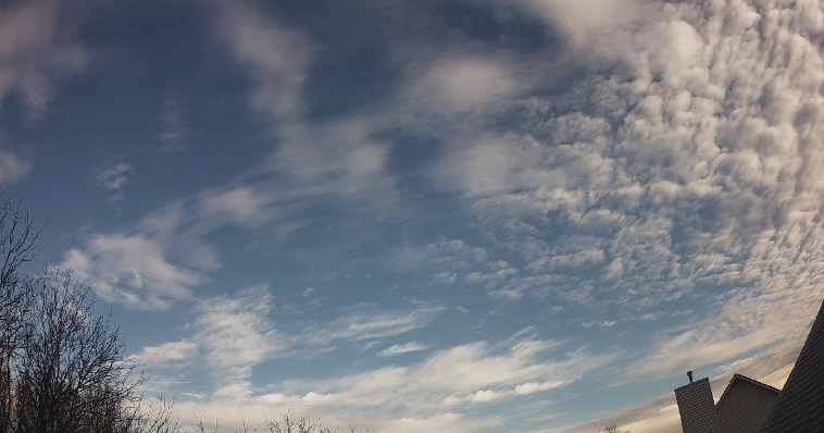
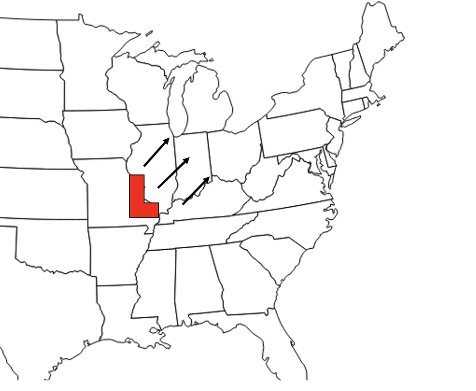
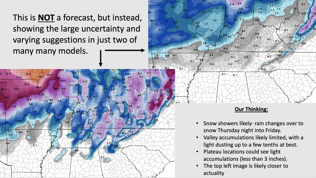
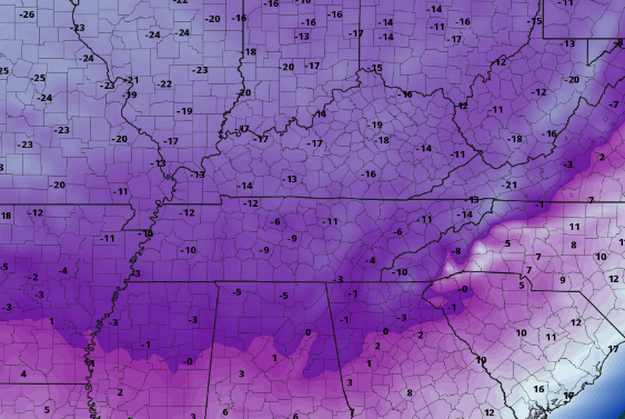
A chilly start for many as 9 am temperatures range from the upper 20s to low 30s. Like yesterday, highs will remain cool as well, generally in the low 40s. Right now partly cloudy skies are present, but increasing cloud cover will lead to broken and cloudy skies by this afternoon. Warmer conditions will find us tomorrow and Wednesday, where mid and upper 40s (and even a few 50s on Wed) are likely. Looking ahead, I am sure many of you have seen or heard a big change is coming. We touched on this several times last week, but confidence is growing and a better picture is set for later this week. A strong area of low pressure and an arctic cold front are going to pivot through the USA. There are several concerns we will talk about but first, what are the uncertainties? Well, the biggest is on the track of the low and how that will play a roll in local impacts. Below are the three primary options, where the south and eastern most track is favorable for a fair snowfall (option 1). Option two, which is the most likely outcome, is of a rain to snow mix, where snow accumulation potential is light and limited. Lastly, option 3 (furthest north and west) would dramatically limit snowfall potential, with mostly a rain/snow mix and very little to no accumulations. Model guidance, and particularly ensemble guidance, has narrowed in on option 2 (middle path) looking the most favorable, but timing is also another crucial piece of this puzzle. A slightly slower progression has become more evident, but depending on the path this could be favorable for snow chances or have no baring on the situation at all. With all of that said, what do a few of the models say? Well as you could guess (below), it's a largely mixed bag. The GFS is closely tied to path 1 (option 1 above). As mentioned this favors the best snow, but in general is the outlier when compared to other guidance. The European is the least aggressive in snowfall, where the low tracks much further north and west (similar to option 3 above). Ensembles, as well as recent deterministic trends, point to a more middle ground approach. This would generally equate to light snow accumulations for most of the valley, while better chances across the plateau and upper valley (bordering KY). As confidence grows, models converge, and higher resolution data is generated we will have a more exact answer. With snow talk out of the way, how will temperatures fair? Well, we are in for some of the coldest Christmas time temperatures in decades. This arctic front will look to bring a dramatic decrease in temps Thursday night into Friday, where most will be in the upper teens to mid 20s Friday afternoon. Similar conditions will be in play Saturday. Additionally, winds will be blustery, leading to wind chills as cold as -5 to -10 (potentially shown below). The coldest of readings will more than likely come during the overnight Friday and into Christmas Eve morning. Because of this sharp cool off, rain showers through Thursday will quickly change over to snow showers Thursday night into Friday. All snow talk aside, icy road conditions are a big worry, where a flash freeze is possible. This scenario would cause issues with travel/commute, so it is something we will continue to monitor closely. All together the big 3 are icy road conditions, temperatures, and some snow. There remains uncertainty, but confidence is growing. Right now, the best potential for snow is across the Plateau and counties bordering KY, but all fair some kind of chance. Further more, travel impacts are likely. Icy roads look more favorable into Friday as rain changes over to snow and temperatures plummet through the early morning. Stay tuned for further updates to come and be sure to give us a follow and shoutout on Twitter & Facebook @SecretCityWx Pre-recorded for 5pm weather broadcast
0 Comments
Leave a Reply. |
Your trusted source for everything weather in East Tennessee.
Social Media
|


