|
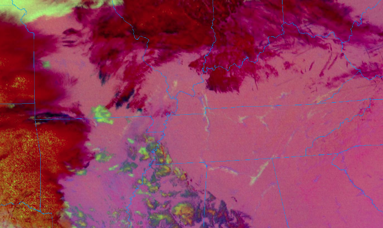
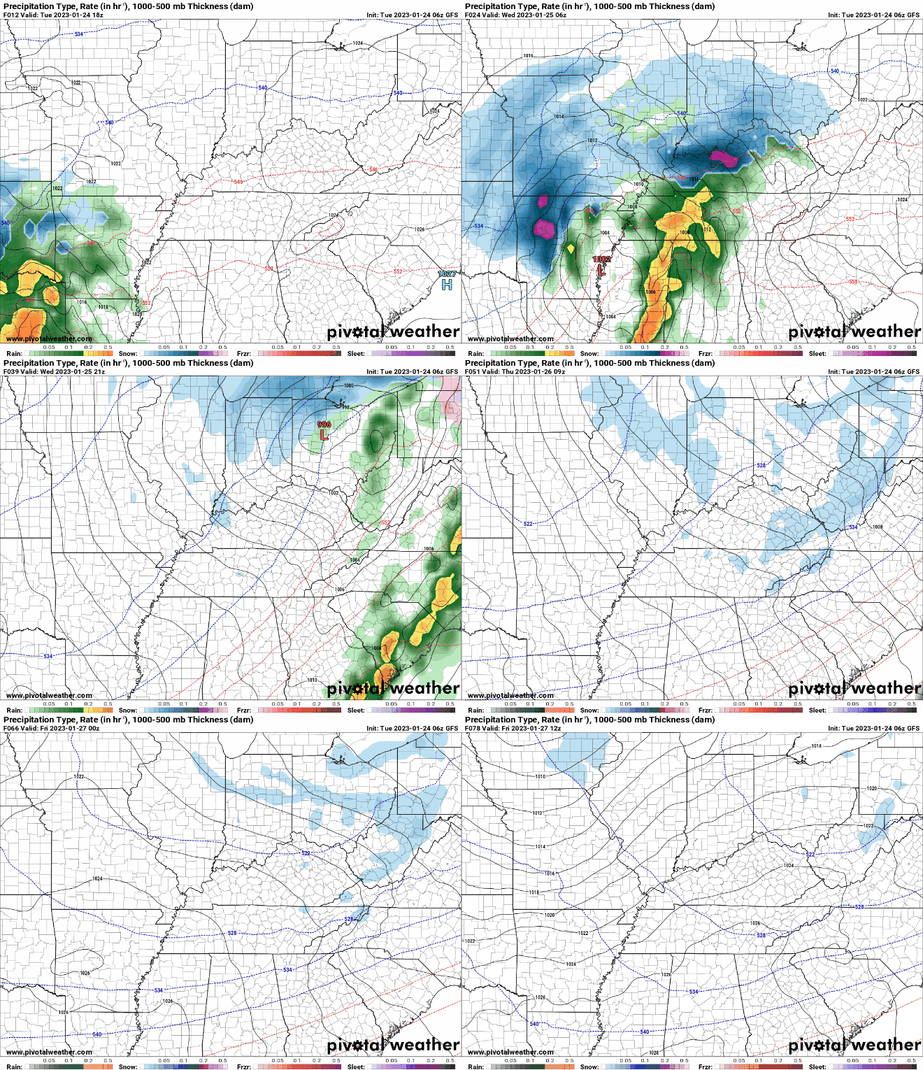
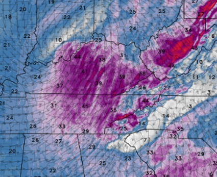
Use caution if you are heading out this morning. Those faint yellow "lines" are actually areas of fog that developed overnight. With temperatures for all in the mid 20s to around 30, freezing fog is expected. This could create slick spots for bridges and overpasses, so take your time during the commute this morning. Into this afternoon, clouds will increase. Highs will be right around average, in the upper 40s. By tonight, a warm front will build north allowing for showers to overspread the area. This will provide us with a good soaking rain, with a few light snow showers/flurries not ruled out late Wednesday and into Thursday. Overall, showers will arrive overnight and into early Wednesday, before a reprieve from activity into the afternoon. Wrap around moisture will then allow for rain/snow mix Wednesday evening and through the day Thursday. As of now, our forecast remains on track in terms of any snow accumulations. The valley will see little to none (a dusting for some), while the plateau averages more in line with a dusting to an inch. The highest peaks in the plateau will be locally higher, with 1-3" possible. Elsewhere, the Smokies will see the more significant snowfall, with locations above 3000 feet ranging from 3-6+ inches. Overall, snowfall will be minimal but don't be surprised to see some flakes to a light coating on grassy surfaces, cars, decks etc through Thursday. After that, briefly drier conditions find us Friday and the weekend, before more showers return Sunday and into early next week. In addition to the rainfall and tail end wintry precipitation, winds will be very breezy. With a tightening pressure gradient and developing low level flow, sustained winds of 15-25 mph and gusts of 35-45 mph are likely Wednesday. Use caution if operating large equipment and bring any outdoor decorations you may have inside. A wind advisory will be in effect tomorrow for all East Tennessee (none Smoky Mountain) locations. That will do it for this go around. Have the umbrellas handy and don't forget those hats. You'll be in for a bad hair day tomorrow guaranteed. Have a good one and we will update you more on the wintry precipitation tomorrow.
0 Comments
Leave a Reply. |
Your trusted source for everything weather in East Tennessee.
Social Media
|


