|
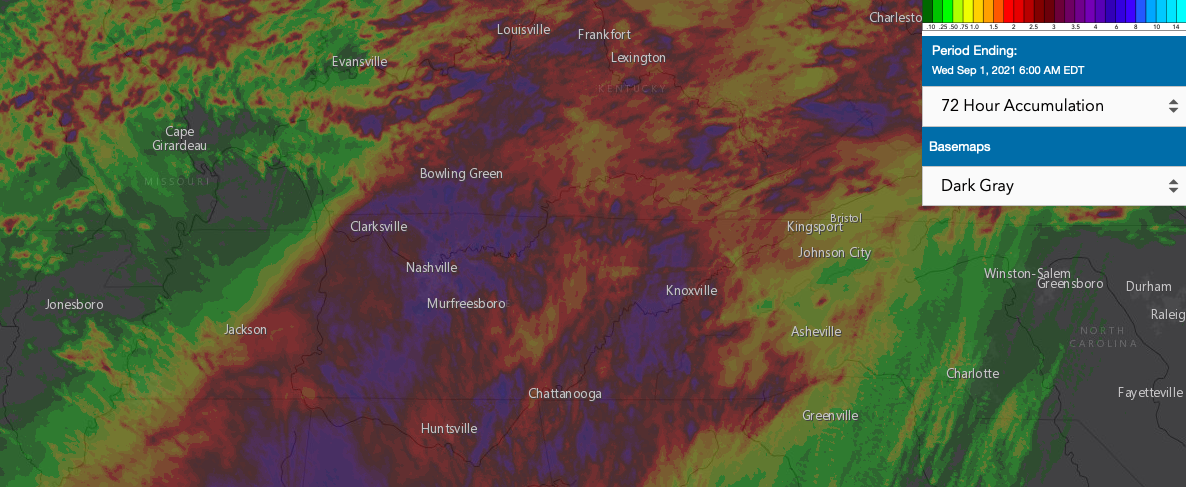
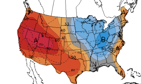
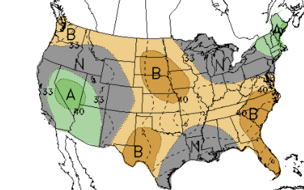
Finally some relief is on the way...after heavy rains brought rising waters and areas of flash flooding across Knoxville, we are seeing the last of "Ida" working out. Looking at a rough sketch of the past 72-hour totals, Knoxville and and to the west picked up anywhere from 2-5 inches. We will release a more official graphic as it comes, but it at least gives you a good idea of how much rain fell. Additionally, our gauge picked up 3.97" from the start to the end of the event. As we move ahead, September is typically our driest month. Looking at the latest release from the CPC, things correlate with that as below average precipitation is expected. Additionally, a cool down is in store with below average temperatures generally expected over the next week or two. For now, we'll take both given our recent rainfall and heat. That will do it for today, send us any pictures/reports you may have from the past couple of days. Have a good one, and enjoy the beautiful conditions set for the remainder of the work week. Highs of low 80s, sunshine, and low humidity are expected ahead. Pre-recorded for 5pm show
0 Comments
Leave a Reply. |
Your trusted source for everything weather in East Tennessee.
Social Media
|


