|
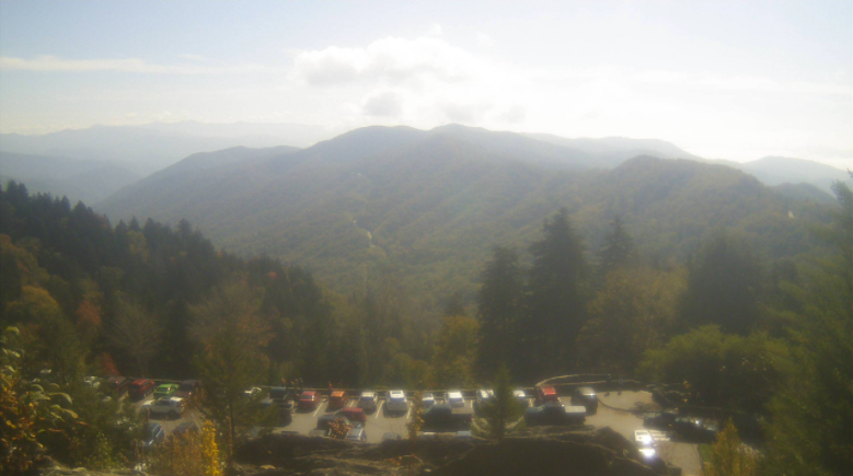
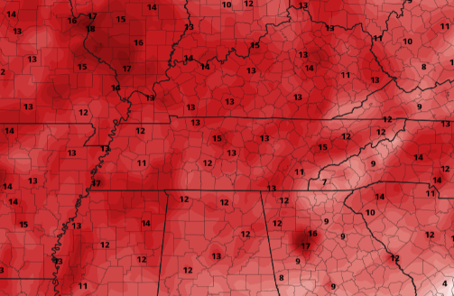
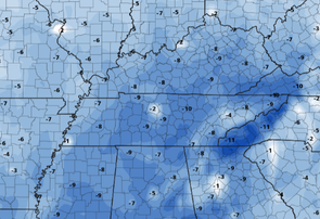
Cloud cover lingers on the western side of the Smokies, but on top, things are mostly to partly sunny! This views comes courtesy of the Smokies at Newfound Gap. It appears to be a pretty popular destination today, and for good reason. Temperatures are well above the average but leaves are beginning to turn into their Fall colors. Looking at what is ahead, a big change up is in the works. A stout cold front, currently across the Rockies and into the Plains, will take aim at East Tennessee later in the week. Below are the temperature anomalies (comparing expected temps to the average for this time of the year). The left image highlights this afternoon, while the right image is of Sunday afternoon. Highs this weekend and into next week will find themselves in the 60s during the afternoon and 40s overnight. Along with the front, showers will be widespread. We will begin seeing a few Friday, increasing both in chances and in cloud cover through the day. By the overnight, widespread showers are expected. These will continue into early Saturday, before sunshine and cool temps arrive for the afternoon. Overall, if you have been waiting for Fall to arrive, this is it. Most of the weekend will feature sunshine with temps in the 60s (slightly below average for this time of the year). Only a few more days of near record setting heat, then a true Fall arrives. Pre-recorded for 5pm show
0 Comments
Leave a Reply. |
Your trusted source for everything weather in East Tennessee.
Social Media
|


