|
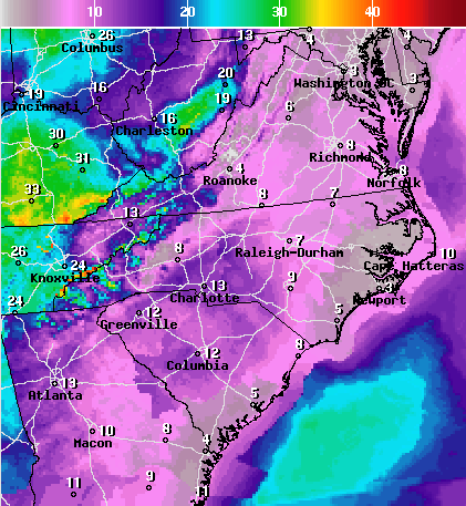
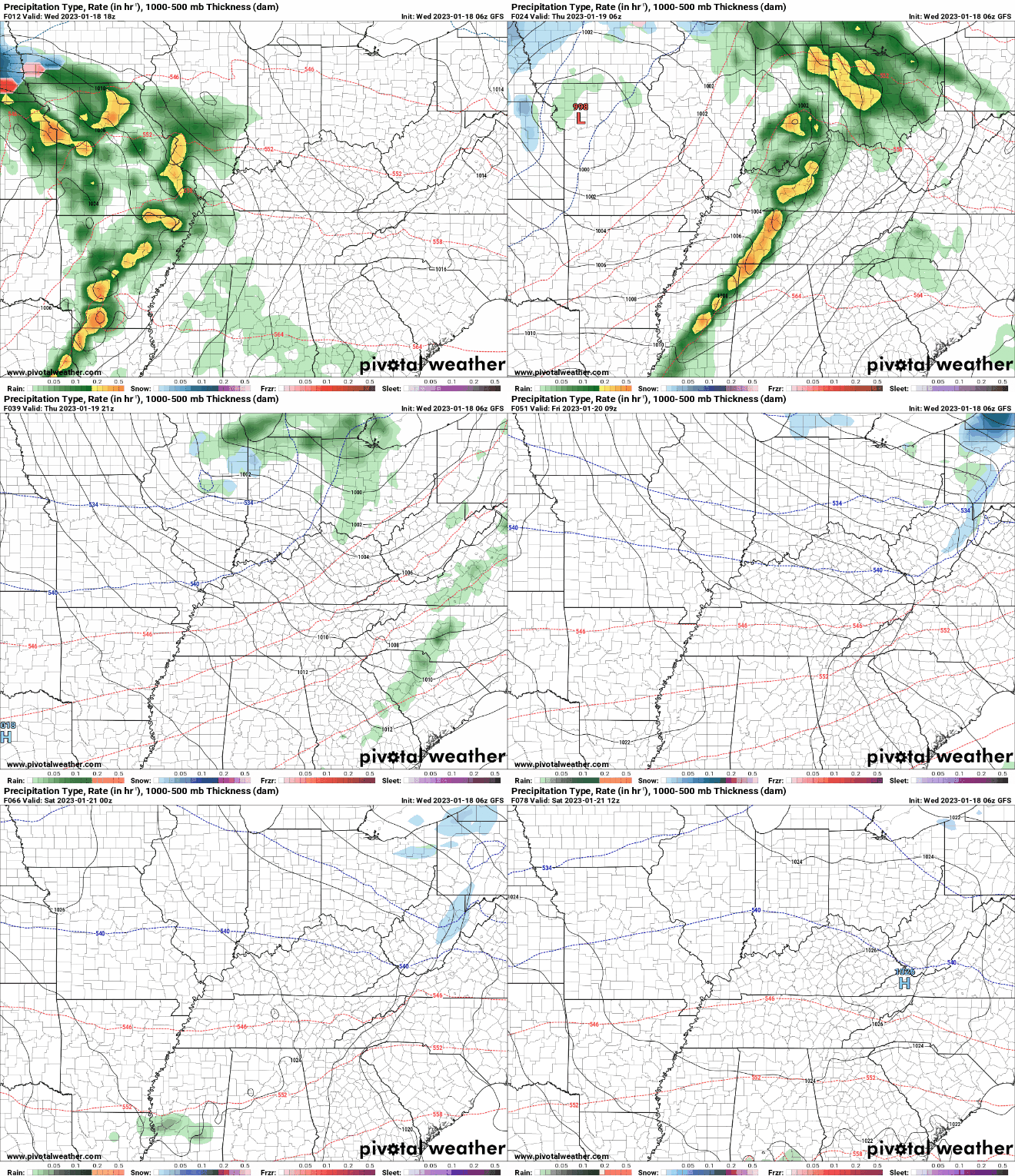
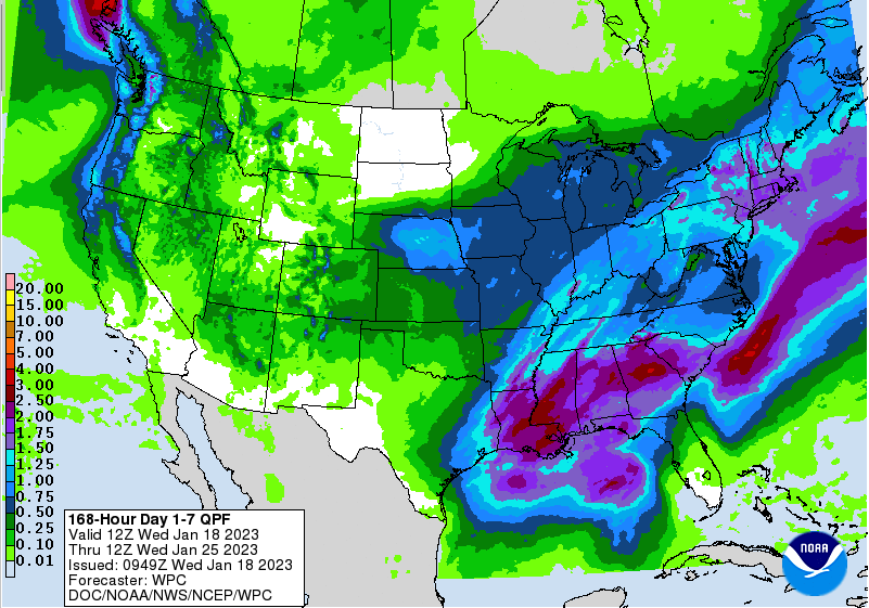
Fog has started to dissipate this afternoon, but cloud cover remains in place as an approaching low pressure system works east. With lower level enhancement overnight, winds will pick up. Southerly flow will stream in where winds of 5-15 mph and gusts up to 30 mph are likely. Secure any loose outdoor objects and/or bring them in tonight. The high terrain of the Smokies are under a wind advisory, where wind gusts of 40-60 mph can't be ruled out at times tonight. Showers will begin to arrive overnight as well, where a few thunderstorms can't be ruled out into Thursday morning. A few strong wind gusts within thunderstorms is also possible, but the main threat of this is across the plateau and southern valley. By tomorrow afternoon, gradually clearing skies will be the trend. This will allow for mostly sunny but cool conditions to close out the work week Friday and into the early weekend. Our next disturbance then finds the region Sunday and into early next week. In terms of rainfall amounts, generally a half inch is expected tomorrow. Over the course of the next week, we could pick up around an inch in total, but it will depend on how far north our weekend/early next week system travels. As you can see, higher amounts hit just to our south, so any changes could mean higher amounts locally. For now, guidance is in fair agreement, but we will watch closely. To note: some could see a brief mix of rain/snow into Sunday morning, with the high terrain of the Smokies likely all snow. This will quickly switch to all rain as temperatures warm up into the day, but just a head up in case you do see a few wet flakes. Temperatures will be well above average tomorrow, topping out in the low to mid 60s, before crashing Friday post-front. Friday highs will be right on par with averages, upper 40s, with a similar feel on Saturday. Have a good one, enjoy the warmth (I can't believe its January), and have those rain jackets handy into tomorrow morning. Pre-recorded for 5pm weather broadcast
0 Comments
Leave a Reply. |
Your trusted source for everything weather in East Tennessee.
Social Media
|


