|
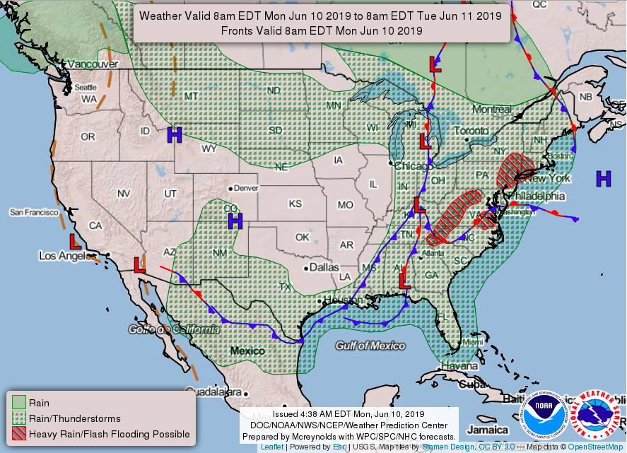
Happy Monday to everyone! We had some showers and thunderstorms roll through early this morning, but we have stayed partly cloudy since. This evening we could see some isolated showers, but thankfully, we will begin clearing overnight. Tuesday will be partly sunny and dry thanks to a much needed high pressure system moving in (as seen below) from the west. This will allow us to dry out a bit and enjoy some sun Tuesday. Looking at our modeled precipitation type run (below), we see those isolated showers this evening before clearing takes place overnight and into Tuesday. Sadly, this won't last long as extended showers from a low to our north will bring scattered showers Wednesday afternoon and evening. This system will be very brief though, allowing for more sun to arrive later Thursday, Friday, and a good portion of the day Saturday. A final total of rain will be released tomorrow, but so far 1.5-3 inches has been the average range throughout the region. Enjoy some much needed sun Tuesday and the later part of the week, before our next big rain maker arrives Sunday and early next week.
0 Comments
Leave a Reply. |
Your trusted source for everything weather in East Tennessee.
Social Media
|


