|
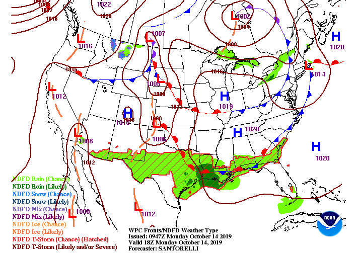
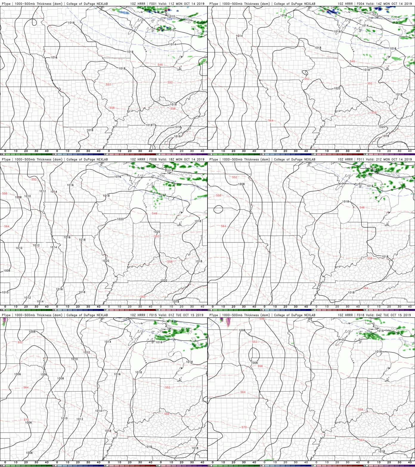
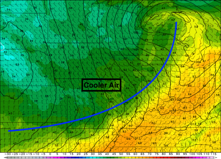
I hope everyone was warm for the chilly start we had this morning. We will have more in the coming days as another cold front will move through mid week. For today though, a high pressure system will keep things comfortable and dry through much of the day tomorrow. By tomorrow afternoon, a cold front will begin creeping into the area, bringing with it scattered showers overnight and into Wednesday. As you can see below, we will continue staying dry today and through the early half of Tuesday. Once that cold front draws near, shower chances increase Tuesday night and into Wednesday morning. Drawn out below is the cold front to the west by 2am Wednesday morning. We will likely see scattered showers throughout the night Tuesday (maybe a rumble of thunder or two) before cooler air begins funneling in through the day Wednesday. Expect temperatures to decrease throughout the day as that colder air moves in. We will reach our high Wednesday in the EARLY morning hours before we start the temp decline. Once the cold front passes, you'll know, as sunny skies will return (by Wednesday afternoon). Thats all we have to start your work week but you can check on your full 5-day forecast in our "Weekly Forecast" tab, as well as our detailed forecast below. Have a great day!
1 Comment
2/18/2020 23:52:18
I really do hope that this is true. I have been suffering from the heat for far too long now. I know that I am being a bit of a baby, but I just cannot handle it. I used to live in a country that was super cool, which is why I cannot do this. I want to go back to my former country, so I wish that this cool air is true. I hope that I do not suffer from a heat stroke before it comes.
Reply
Leave a Reply. |
Your trusted source for everything weather in East Tennessee.
Social Media
|


