|
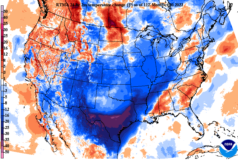
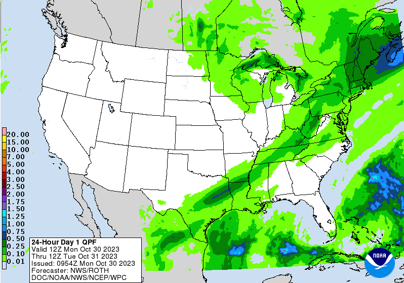
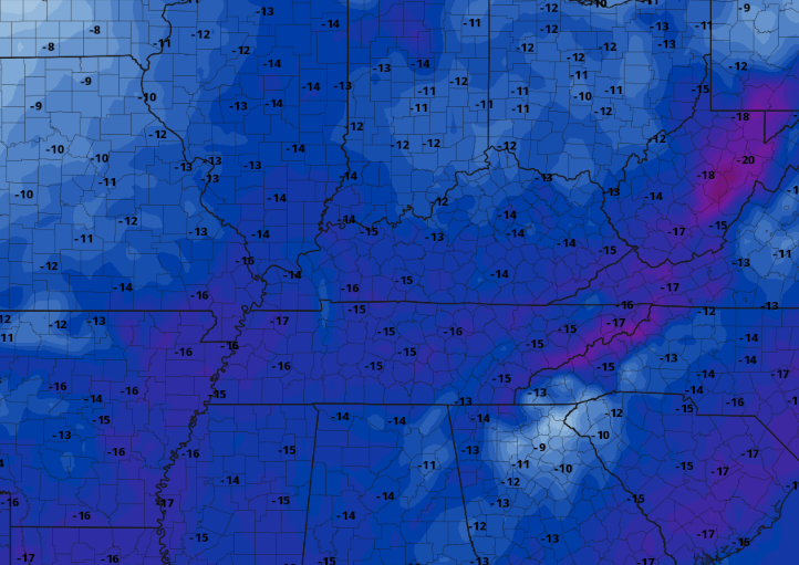
Good morning! If you haven't heard, a taste of early Winter is on the way. Looking at the latest 24-hour temperature change map below, MUCH cooler air is seen just upstream from the Rockies to the Tennessee Valley. This will spill into East Tennessee this afternoon and through midweek, leading to chilly temperatures. As far as the expectations for today, a cold front is sliding through now. This will allow for showers to fill in late morning into the afternoon, eventually exiting the area tonight. Rainfall amount with this system will be minimal, generally a tenth of an inch or so, but something is better than nothing. That is especially so with the drought we have across the state. Much cooler air finds us tonight through Wednesday night, with near record values possible for some locations. This model is depicting average temperatures to those of which will be possible Wednesday afternoon. As you can see, we will be 10 to 20 degrees below our usual late October to early November average, so bundle up accordingly! The good news is this will be temporary, as average to even above average temperatures return late work week and into the weekend. Until that point, brace for cold highs and even colder overnight lows. Temperatures will drop from this point through the end of the day, with highs Tuesday in the low to mid 50s and highs Wednesday in the 40s to around 50 degrees. Like highs, lows will drop into the upper 30s to near 40 tonight, upper 20s to near 30 degrees Tuesday night, and mid 20s Wednesday night. This should end/kill what is left of the "growing season," which is why the National Weather Service has a Freeze Watch in effect for Tuesday night into Wednesday morning. A quick moving disturbance to our north will bring some increased clouds late Tuesday, where a few sprinkles to even flurries (yes, you just read that) could fall. The best chances will be for those furthest north and in the higher terrain, but a few could fall in the northern valley too. High pressure then allows for plenty of sunshine Wednesday through the start of the weekend. Have a good one and stay warm the next few days! Pre-recorded for 5pm weather broadcast
0 Comments
Leave a Reply. |
Your trusted source for everything weather in East Tennessee.
Social Media
|


