|
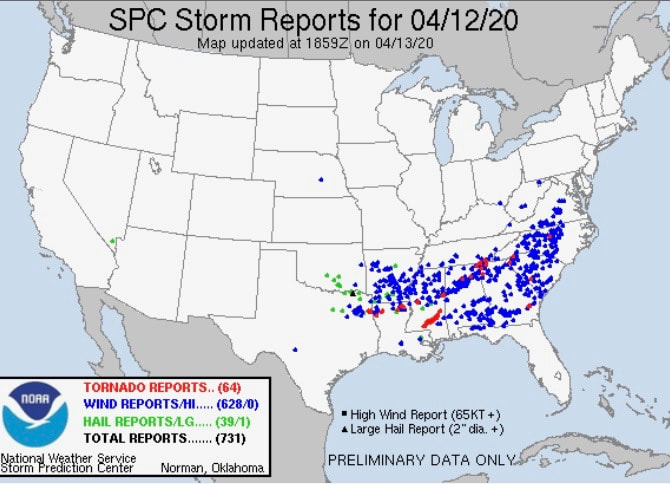
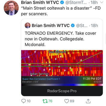
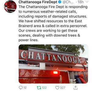
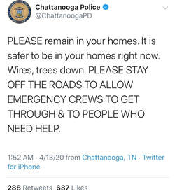
The unfortunate event of severe weather struck late last night to parts of Ole' Rocky Top. The SPC storm reports (below) show the extent of damage across the southeast. Hail and wind damage run from northern Texas to the Carolinas and Virginia's. In total, over 700 storm reports were accounted for, including 64 tornado reports. To clarify, this does not mean 64 individual tornadoes formed yesterday, but instead, that 64 reports were made about witnessing a tornado. A reporter for WTVC in Chattanooga tweeted the Chattanooga Fire-department stated downtown Ootewah was a "disaster" minutes after a tornado was believed to sweep through the area. These reports continue with numerous outlets tweeting about damages, power outages, downed trees, structures, and more. The fire department and police department even reported going door to door to make sure every person was safe and accounted for. Long after the tornado reports (notice 1:52 am) crews and officials urged residents to remain indoors. Many reported loss of power, emergency situations, and the overload of phone calls to 911 outlets. For a full summary, given the data we recorded and reported, view our update below. The imagery isn't the best but it definitely paints a clear picture that this tornado was significant and moved through numerous towns east of Chattanooga. If you have any questions, comments, or are interested in our services, email us at SecretCityWx@aol.com.
0 Comments
Leave a Reply. |
Your trusted source for everything weather in East Tennessee.
Social Media
|


