|
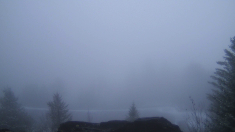
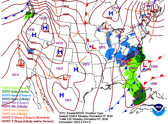
Good Monday morning to you! It is a dreary start with temperatures in the 30's and a layer of clouds overhead. The latest shot from Newfound Gap shows a fresh bed of snow that continues to fall in the Smokies. So far today, Newfound Gap has picked up right around half an inch of snow. Here at home, things look to stay much of the same as they started. High's are expected to top out around 40 degrees with improving conditions by the evening hours. A northwest wind near 10 mph (at times) will make things feel even cooler through the day, so be sure to bundle up. Looking at the current surface map, the low that tracked in some light moisture last night has shifted eastward. Snow flurries can't be ruled out through the day, but no accumulations are expected in the Valley. A bit of a different story is in play for the Smokies (as seen above) with a Winter Weather Advisory is in effect through midnight tonight and a few inches expected on the highest peaks. Looking ahead, we begin the clearing out process overnight tonight as high pressure finds its way back across the southeast. This will bring sunshine and warming temperatures Tuesday through Thursday before another opportunity for minimal rainfall finds its way this weekend. Overall, things look to be beautiful Tuesday through much of Friday so take advantage! That will do it for today. Stay warm as high's struggle to find the 40's much of the day and NW winds will make feel-like temps in the low to mid 30's at times. Check out today's video forecast for more details on what you can expect later in the month.
0 Comments
Leave a Reply. |
Your trusted source for everything weather in East Tennessee.
Social Media
|


