|
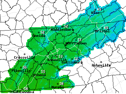
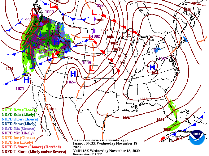
The "bad" news is today will be the coolest day we'll see this week. However, on the flip side, a warming trend will follow. For this afternoon, much of the valley will see high's in the lower 50's with a few spots reaching the mid 50's (specifically the southern half of East TN). As we work ahead, southern flow will allow for high's to return to average and slightly above average for this time of the day. A look at the surface map for this afternoon shows high pressure working east. Due to the nature of high pressure, anti-cyclonic flow will generate winds out of the south. This means temperatures will begin rising back up in the days ahead. In addition to the slowly rising high's each day, tons of sunshine will continue to stick around for the next several days. The next chance for rainfall doesn't come until late weekend. A weak system is expected to provide cloud cover Sunday afternoon and isolated showers overnight and into Monday. For now, things will stay beautiful across the state with warming temps Thursday through Saturday.
0 Comments
Leave a Reply. |
Your trusted source for everything weather in East Tennessee.
Social Media
|


