|
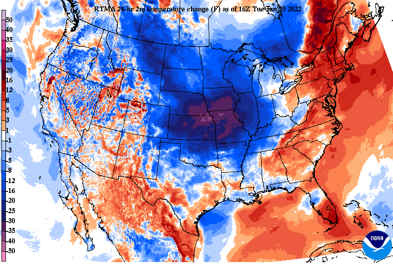
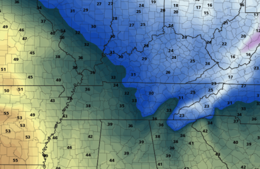
Good afternoon! A fairly mild afternoon is on tap with cloud cover gradually clearing. Low level clouds remain across the northern half of the Plateau but will vacate by this evening. The remainder of us will be sunny to partly sunny. A cold front is present just to our west, bringing much cooler air to the Central US and eventual Eastern US. Highs tomorrow are expected to top out in the mid to upper 30s under mostly sunny skies. Working ahead, the weather will be fairly quiet. A quick moving wave will bring the opportunity for isolated to scattered rain showers Friday afternoon before transitioning to some snow flakes overnight. There continues to be large uncertainty within guidance, but all signs point to a very minor event. Following this Friday system, sunny skies return but so does cold air for the weekend. Looking at highs Saturday afternoon, most will struggle to break the freezing mark. Even more so, elevated locations will likely top out in the 20s with overnight lows in the teens and 20s Friday night and Saturday night. We will gradually warm back up Sunday and into the new work week. Temperatures will cool off Wednesday, but rebound Thursday. This will then be followed by another cold bout Friday and into the weekend. Have a good one and be sure to check back in for any updates for the late week system. Pre-recorded for 5pm show
0 Comments
Leave a Reply. |
Your trusted source for everything weather in East Tennessee.
Social Media
|


