|
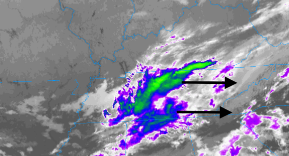
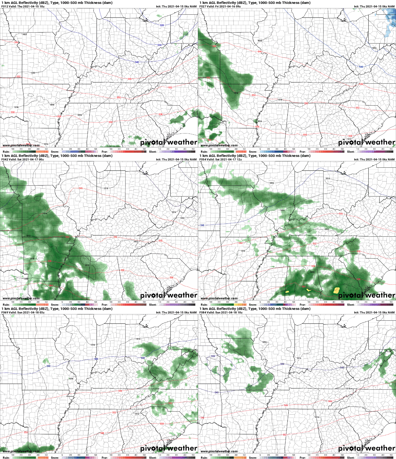
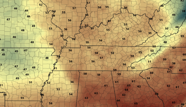
Good morning! The latest satellite loop has clouds over much of the state but clearing will gradually take place through the day. Looking at satellite below, Western Tennessee is already beginning to clear out with daytime mixing likely to assist in decreasing cloud cover across our neck of the woods. Highs will be a bit cooler today with the passage of a cold front, in the mid 60s. Progressing ahead, dry air doesn't stay around for too long. Another feature will provide the chance for showers Saturday and early Sunday morning. This next round continues to look unimpressive with light scattered showers and totals up to 0.15". The biggest impact will be the cool air to follow as highs will likely drop through much of Saturday. By Sunday, we rebound a bit with clearing skies through the day. Trends hint toward clearer and drier conditions much of next week. Looking at Saturday, another cold front will work across the state. With highs likely to fall early in the day, we'll see temperatures struggling to reach 60 degrees. Cloud cover should continue to stick around Saturday night, helping buffer too cold of air. Frost could be a concern tonight for some of the deeper sheltered valleys, so use the proper precautions with lows in the mid to upper 30s. The pattern ahead is more or less a drier one with temperatures trending below average. The exception will be Saturday as a weak system (bringing light showers) and cold front push across the region. Temperatures rebound a bit next week, but remain on the cooler side. Pre-recorded for 5pm show
0 Comments
Leave a Reply. |
Your trusted source for everything weather in East Tennessee.
Social Media
|


