|
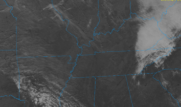
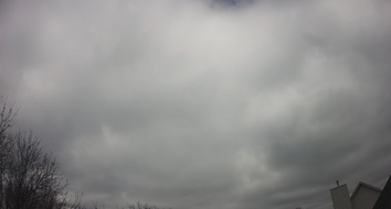
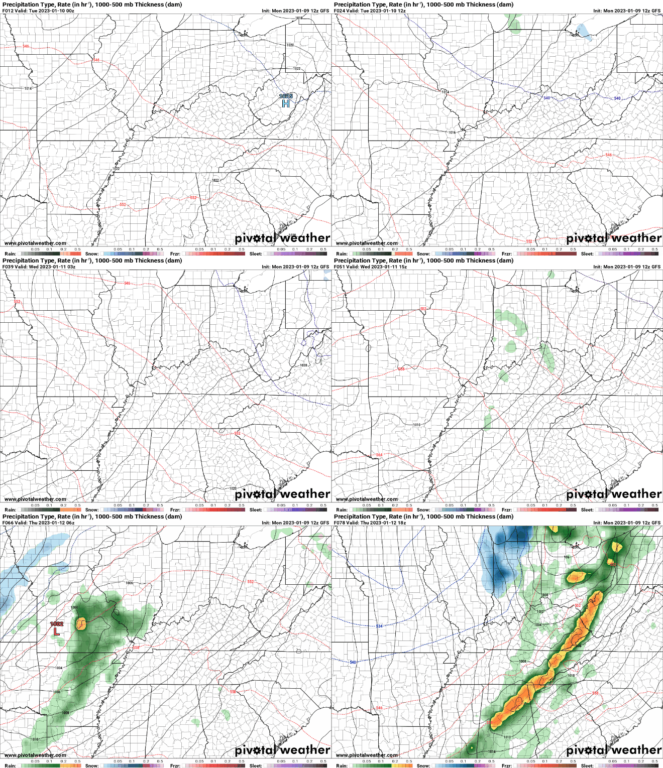
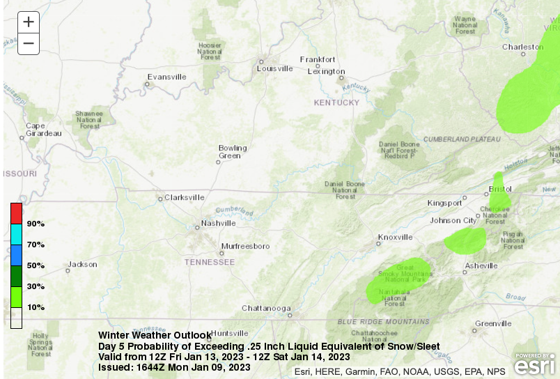
Low clouds have socked us in early, but are slowly diminishing across the area. These images are as of 12:40 PM, showing the extent of the coverage. Just be patient as sunnier skies are on the way and most will need the sunglasses later this afternoon. As for highs, expect things to warm up a few more degrees, in the upper 40s to around 50. The good news as we head towards mid week are the dry and warming conditions expected. Highs will climb into the low and mid 50s tomorrow, with mid and upper 50s Wednesday. That said, cloud cover returns Wednesday with showers not far behind Wednesday night and throughout Thursday. A potent low pressure system and trailing cold front will bring widespread showers and a few thunderstorms to the area Thursday, with some seeing a transition to snow by the night and into Friday. Not to give your hopes up snow lovers, but this will not be the best set up for accumulations at least across the valley. That said, others could have the chance, with the highest probability in the Smokies. Thereafter, drier and cooler conditions return this weekend. As far as the snowfall outlook, the highest elevations of the Smokies are more than likely to see accumulations. This is depicted below through evaluating the probability of exceeding a quarter of an inch in liquid amount from snow/sleet. Several inches will be possible for the highest peak Thursday night into Friday, with some lingering activity into the early weekend. For valley locations its our typical struggle, cold front passes and the colder air lags limiting the amount of usable moisture, and thus, mainly just a few flurries/mix. We will continue to monitor as we get closer, but for now, little to no valley accumulations are expected. The plateau will have a better chance, but it is too early to give ranges. That will wrap it up for today...enjoy the return of sunshine (for those not having any yet) over the next few hours and warming temperatures through mid week. Don't forget to check out our video forecast below as well. Pre-recorded for 5pm weather broadcast
0 Comments
Leave a Reply. |
Your trusted source for everything weather in East Tennessee.
Social Media
|


