|
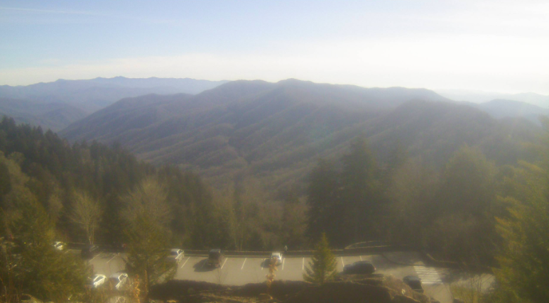
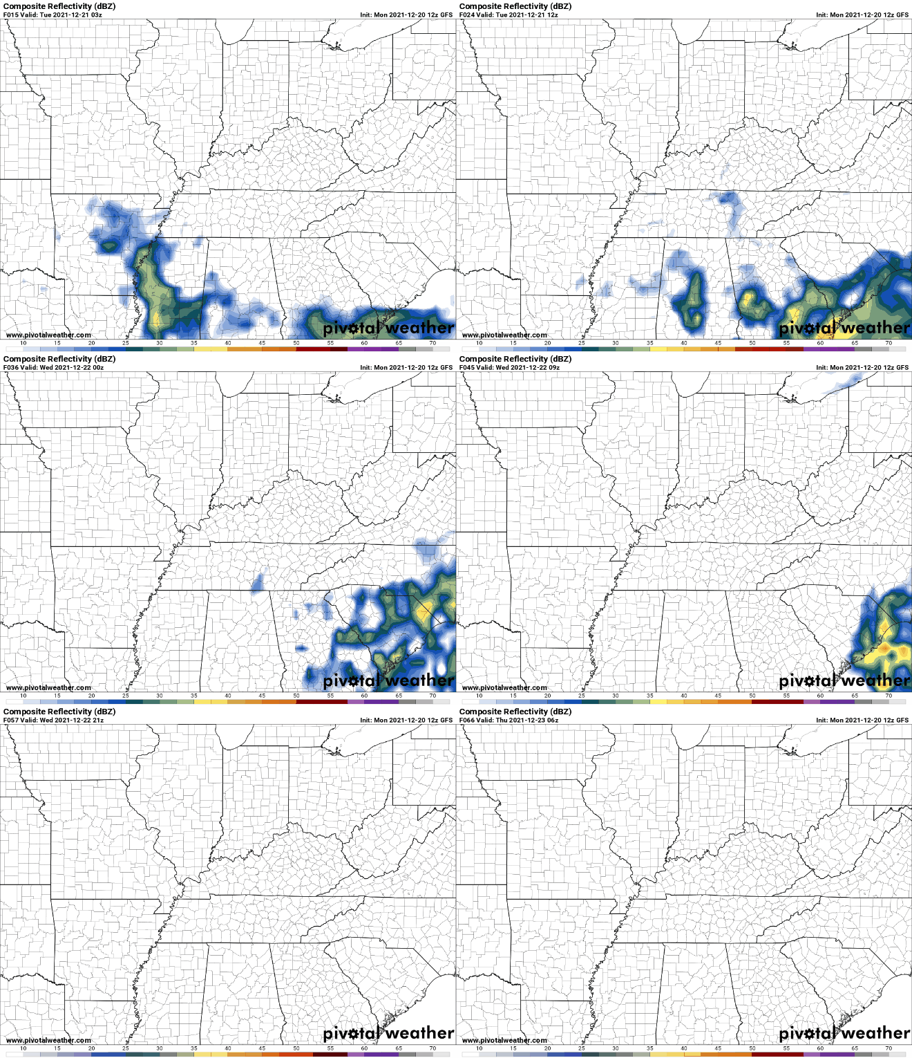
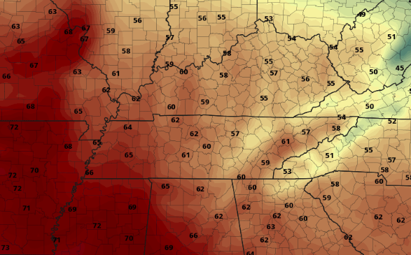
Good afternoon! After a chilly start, things are warming up. Current temperatures area-wide are in the mid and upper 40s, warming to around 50 before days end. Here's a look across the Newfound Gap area of the Smokies where temps here are at 37 degrees. Cloud cover will thin out at times, but a system to our south will again increase coverage overnight. Moving forward, there's little to talk about as dry conditions persist through at least Thursday. A system pushing in from our north and west will bring the chance for rainfall late Friday and into Christmas Day. With that said, I can promise you there won't be a White Christmas as temperatures so far this "cold season" have been above average. Look for some changes though in the large scale pattern into January as we could have a few cold outbreaks swing through the Southeast. After Wednesday, temperatures will warm, with highs Friday into the lower 60s. This is over 10 degrees (for some) above average. This will continue into Christmas day as well. That will do it for today....bettering sky conditions will find us mid week with warming temperatures to follow. Pre-recorded for 5pm
0 Comments
Leave a Reply. |
Your trusted source for everything weather in East Tennessee.
Social Media
|


