|
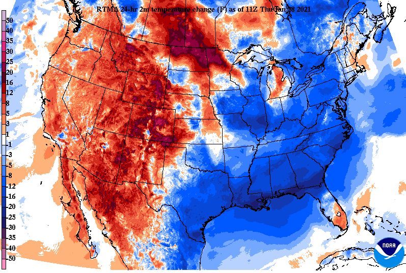
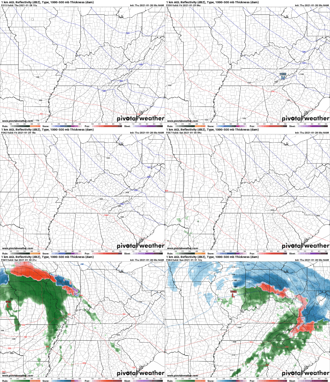
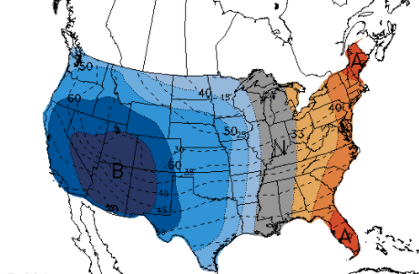
Good morning! Temperatures are hovering around the freezing mark right now with little room to increase by this afternoon. A cold front has passed through with our latest system, bringing much colder air (as seen below) across the eastern half of the US. High's today will top out in the upper 30's, near 40 with a gradual increase in temps through the weekend. Along with increasing temperatures, a new system will build in for the middle of the weekend. Weather conditions stay dry tonight with sunshine returning Friday. By Saturday, cloud cover will be reintroduced and showers will arrive by the afternoon and through the overnight hours. Expectations for rain will be a nice soaking (0.5"-0.75" possible). Cooler air will again follow for early next week as clearing takes place as well. Long term, a deep trough will introduce well below average temperatures to the western half of the United States. Oppositely, the far eastern third will trend above average with much of Tennessee near average. This period has been ran from February 4th- the 10th by the Climate Prediction Center. Temperatures won't fluctuate too much today but clearing will allow for low's tonight in the teens for most. Make sure to layer up tomorrow morning! High's will return to near average in the mid 40's before 50's find us back into the weekend. Pre-recorded for 5pm show
0 Comments
Leave a Reply. |
Your trusted source for everything weather in East Tennessee.
Social Media
|


