|
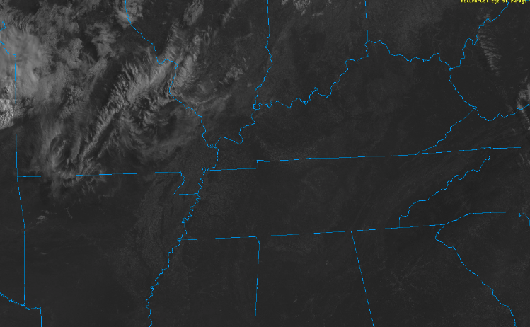
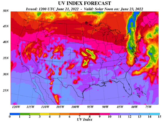
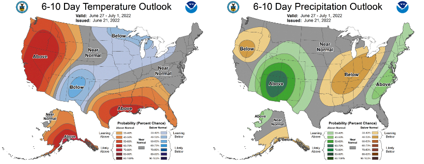
Mostly sunny skies kicked off the day and will continue through this afternoon. We will see some increased cloud cover toward this evening and overnight, as a weak cold front slides through our area. A very isolated shower or storm can't be ruled out overnight, but most stay dry. Highs will top out today in the mid 90s, with lower 90s coming tomorrow. With sunny skies a majority of this week, UV indices will be very high. Looking below we will average in the 10-11 category. Keep the sunscreen close by and drink plenty of fluids through the remainder of the week. Humidity will increase this weekend, making for the return of conditions similar to last week. Looking longer term, there's not much improvement to be had. If anything, the concern for increased drought is becoming more worrisome. Looking at the CPC outlook through the end of June and into July, near normal to slightly above normal temperatures are forecast, in addition to a higher confidence in below average rainfall. We have been running below average in terms of rain for the month, so this is not a good sign for the agriculture world, fire potential, and even those with a grass yard. We will release the latest drought map Friday, but I anticipate for increase D0 (abnormally dry) conditions. This trend will likely continue ahead, with a change not looking likely through at least early July. Temperatures also stay warm, especially this week, so practice heat safety! Check out our video forecast below for more: Pre-recorded for 5pm show
0 Comments
Leave a Reply. |
Your trusted source for everything weather in East Tennessee.
Social Media
|


