|
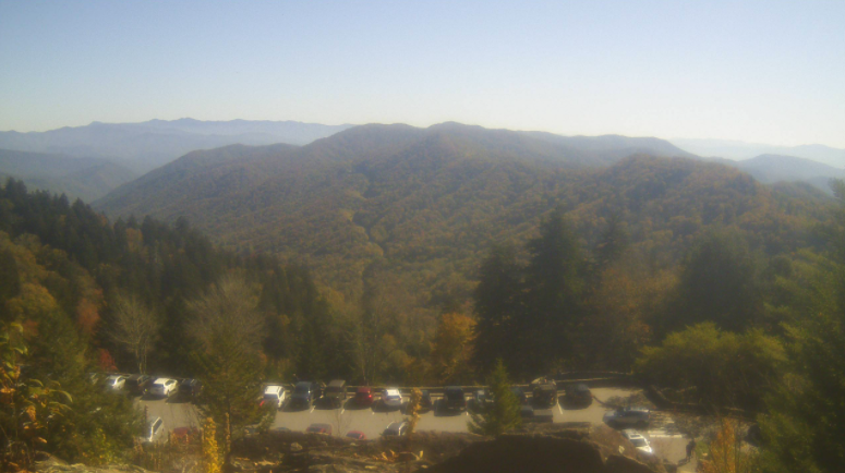
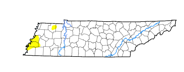
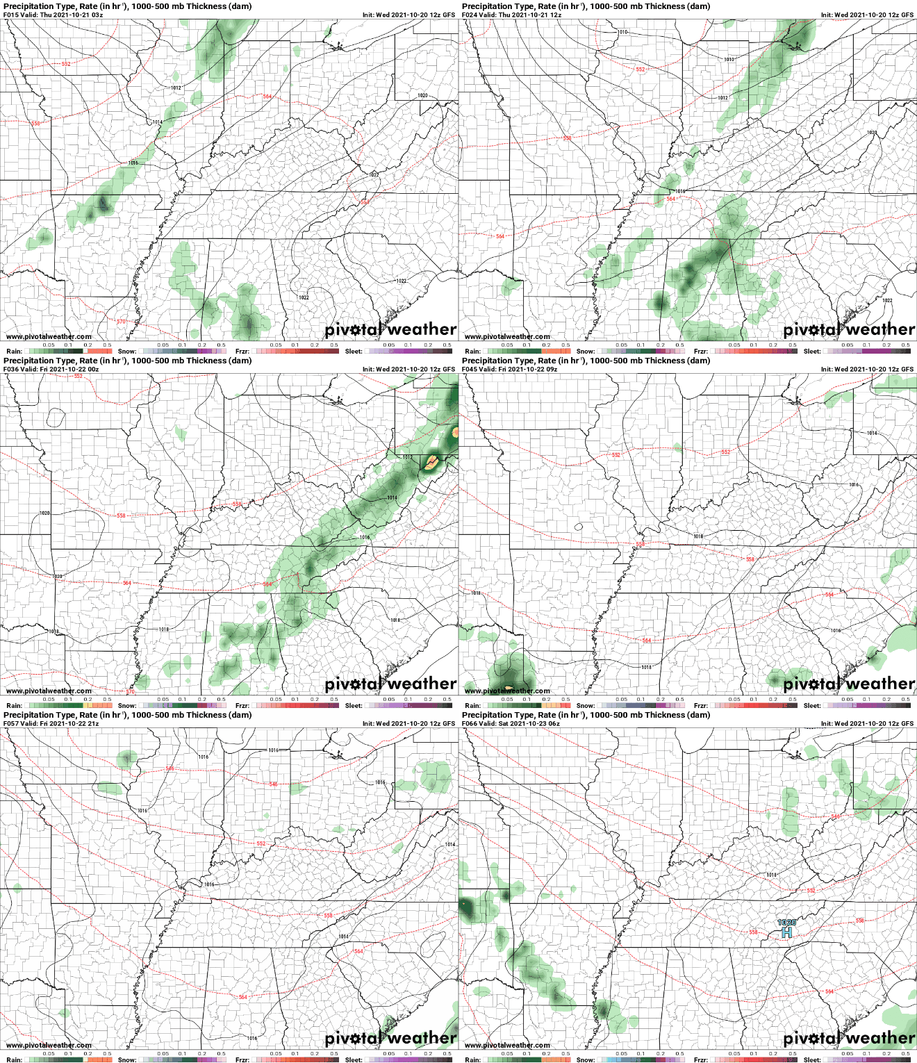
Overlooking Newfound Gap, another beautiful day is upon us. Those Fall colors are really starting to show as well, which are more apparent in the Smokies than in the valley locations. Highs today should top out on the warmer side, in the mid 70s. With all the recent rainfall we picked up, we have not highlighted the latest drought trends. Looking below is the current guidance for the state, with only a few localized abnormally dry spots across Western Tennessee. We will keep an eye on this moving forward, but expect little changes in the near future. With a cold front diving into the Mid Mississippi Valley, isolated showers will find us into Thursday morning. As the cold front works closer, moderate to heavy showers can't be ruled out in the mid to late afternoon tomorrow. A few embedded thunderstorms aren't out of the question either. The good news is this should fairly quick moving; out by the overnight hours. This will set up a cool but clearing day Friday with highs in the 60s. Guidance remains a bit fuzzy toward early next week, where additional isolated showers are possible. That will wrap it up for today...enjoy another gorgeous one with plenty of sunshine through the mid afternoon. Cloud cover will increase this evening and overnight as the front draws closer. Pre-recorded for 5pm show
0 Comments
Leave a Reply. |
Your trusted source for everything weather in East Tennessee.
Social Media
|


