|
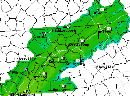
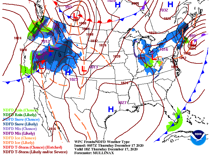
Good Thursday morning to you! Temperatures out of the door are in the low 30's and won't improve much from that mark. A look at the National Weather Service afternoon temperature plot shows high's only getting into the upper 30's, with some locations right around the 40 mark. Look to have improving sky conditions through the day. The good news ahead is high pressure working eastward. This will allow for the slow progression of rising temperatures as well as clearer skies. As we end the work week tomorrow, high's make a return to the mid/upper 40's under partly sunny to sunny skies. However, just like with our last system, isolated shower chances move back in the following day (this case, Saturday). Model guidance picks up on the area of high pressure shifting across the region Friday bringing sunshine and dry air. By the overnight hours tomorrow, cloud cover will slide back in as a broken & weak line of showers moves through. This particular model carries a bit more moisture than will likely happen. None the less, don't rule out an isolated shower Saturday afternoon/evening before clearing back out late Sunday and early next week. We'll see high's return to the 50's by Monday of next week. That wraps it up for today...make sure to stay warm this afternoon as cloud cover early will make things feel even cooler at times. We will begin a gradual return to near average Friday before landing around 50 by Sunday. Also, if you would like to be included in this year's Secret City Weather East Tennessee Almanac, check out: SecretCityWeather.com/Sponsors Pre-recorded for 5pm show
0 Comments
Leave a Reply. |
Your trusted source for everything weather in East Tennessee.
Social Media
|


