|
Good afternoon and I hope some of you are enjoying the extended weekend! Things have dried out across the area but cloud cover still remains. A weak front to the west is sliding through, eventually bringing clearer skies by tomorrow. For the rest of this afternoon, gradually clearing, a few sprinkles, and high's in the upper 70's can be expected. 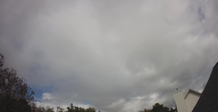 Stansfield Webcam- Oak Ridge The latest surface map shows the front trying to move through. As mentioned, don't be caught off guard if you feel a few sprinkles drop this evening. Little moisture is associated, so any rain that falls will be very light and quick moving. By Tuesday, a high pressure system will dig in from the west drying things out entirely and providing some much needed sunshine. 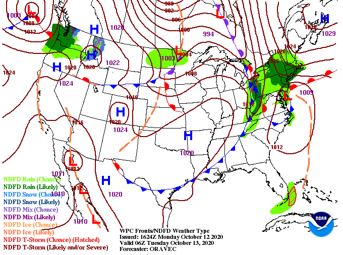 In the days ahead, things return to a quiet state. The high will keep temperatures above average the first half of the week, but sharp changes are in store the later half. A strong cold front from Canada will work south, providing MUCH cooler air across the Mid-Atlantic. This pattern shift is being compared, by some forecasters, to that of an early winter phase. Though conditions won't be winter-like across east Tennessee, we will see below average temps. The biggest highlights Friday and this weekend will be patchy frost and likely the coldest overnight low's we've had since March/April. Along will the blast of colder air, a few light and isolated showers are in the forecast for Thursday and early Friday.  Taking an early look at Friday's afternoon high's, we are seeing upper 50's for most and a few low 60's for counties to the south. The average high for this time of the year varies between 69 (Tri-Cities) and 73 (Chattanooga) with Knoxville around 71. This pattern shift looks to keep below average temperatures in play not only this weekend but also much of next week.  With the holiday today, I went without a video broadcast but will return to the norm tomorrow. I also wanted to touch on some feedback we received over the weekend. Because of the configuration of this site, true timestamps aren't an available option. With that said, I will keep a conscious effort on making sure the posted date is that of the true date. I will sometimes begin a post the evening before and finish it the day of posting (I believe this is why it is one day off). Regardless, thank you for bringing it to our attention and we hope to have that corrected from here on out. I want to wish every one a great rest of Columbus Day and if Secret City Weather can help you out in anyway, send us an email at [email protected]
0 Comments
Leave a Reply. |