|
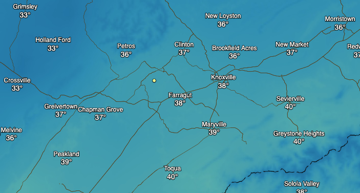
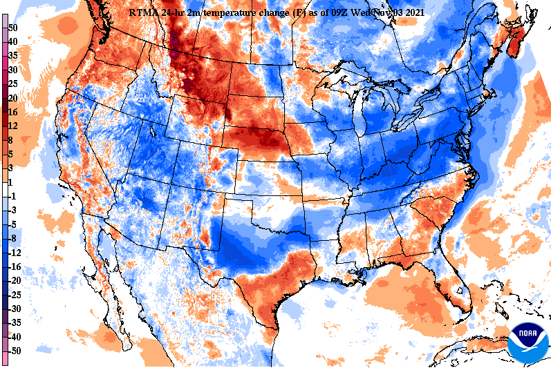
We start off the morning chilly, as temperatures across the board are in the 30s. Comparing this with the higher peaks of the Smokies, Newfound Gap currently sits at 29 degrees (elevation ~5000ft). Expect similar conditions the next few days, as cold air funnels in from the north. Some higher elevated areas (Plateau & foothills) could even end up in the 20s Friday morning. For today, cloudy skies will hang around with afternoon highs in the upper 40s to low 50s. Guidance continues to back off on the idea of showers late tonight and into Thursday. The lack of upper level support and moisture with this feature indicates shower chances will be very low, with the best opportunity along the Georgia border and the Smokies/bordering North Carolina. Nonetheless, a few sprinkles to very light isolated activity can't be entirely ruled out tomorrow. Snow also remains possible for the higher peaks (2500ft+) in the Appalachians. Impacts should be minimal with a light dusting on grassy/elevated surfaces at best. Following a few sprinkles tomorrow, we trend toward a dry pattern, with lots of sunshine and warming temps Friday and into at least early next week. With high pressure building in across the Upper Plains, the clockwise flow is allowing for cold and fairly dry northerly air to filter into East Tennessee. This has led to cooler temperatures to start the morning and will continue for the day today as well as Thursday. We are anywhere between 5 and 10 degrees cooler this morning that this time yesterday. Friday looks to be our coolest start this week and likely of the new cold season altogether. Most will likely deal only with cloud cover today and tomorrow, along with cooler than average temperatures. A dry trend then finds us late work week, weekend, and into next week. Temperatures will also rebound as a result. Pre-recorded for 5pm show
0 Comments
Leave a Reply. |
Your trusted source for everything weather in East Tennessee.
Social Media
|


