|
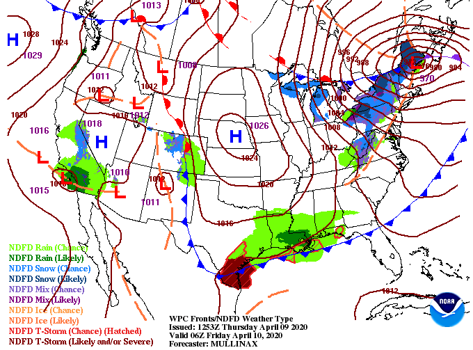
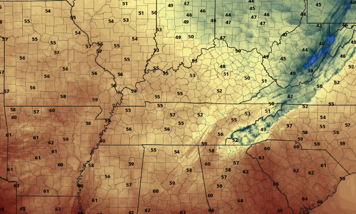
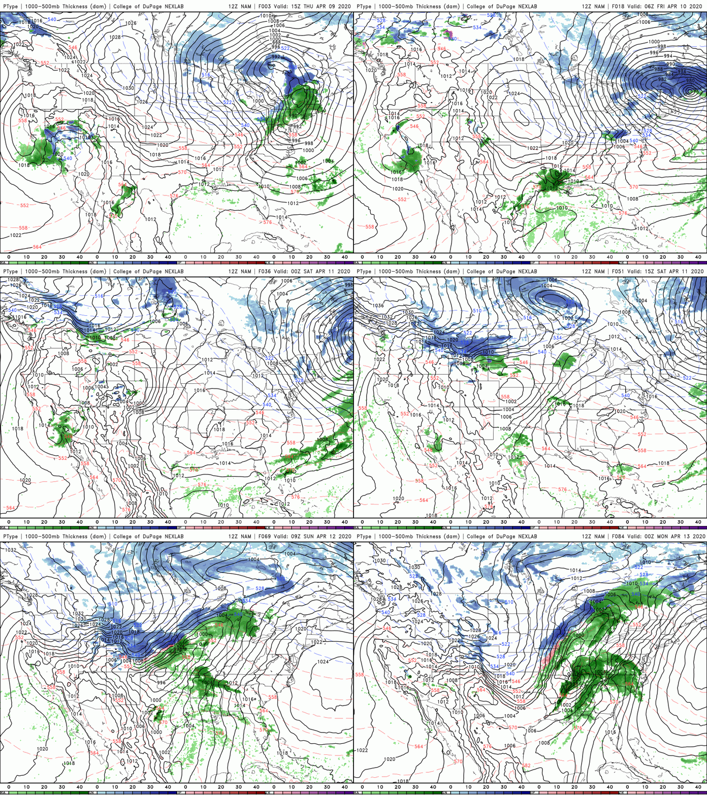
Just when you think summer is on its way, early Spring to late Winter returns. High's this afternoon will remain comfortable in the mid 60's but much cooler air arrives tomorrow with high's in the mid 50's. To put this in to perspective, the average for early to mid April is the upper 60's. That means we'll be nearly 15 degrees below average tomorrow. The good news is a high pressure system is overhead, keeping things dry and sunny the next couple of days. Looking at those temperatures tomorrow afternoon, many will struggle to see 60 degrees, even to our south. Overnight low's will be in the low to mid 30's and frost looks to be an issue Friday night into Saturday morning. Clear skies overnight will only make things cooler as clouds typically hold in some of that warmth (kind of like a blanket). The next couple of days will be cool but rather peaceful. As we enter in Easter weekend, shower activity begins to ramp back up. Clouds cover will build Saturday afternoon as showers work in overnight and through Easter Sunday. The severe threat (as seen below on our video forecast) will stay contained mostly to the south. A few stronger showers or storms can't be ruled out so we will keep a close eye on this next system over the next few days. Bundle up! If you are like me, you were just getting used to the 70's across the area. Cooler air will work in tomorrow with warmer temps into the weekend. The trend still looks promising for cooler air in mid-April so we haven't activated 'Summer' just yet.
0 Comments
Leave a Reply. |
Your trusted source for everything weather in East Tennessee.
Social Media
|


