|
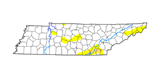
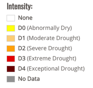
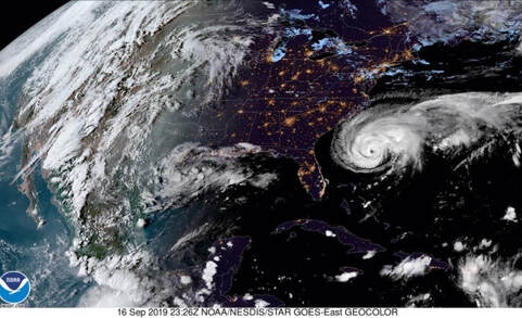
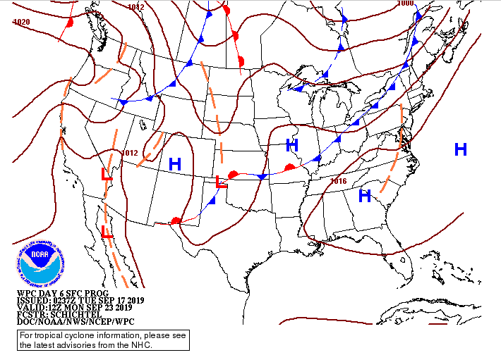
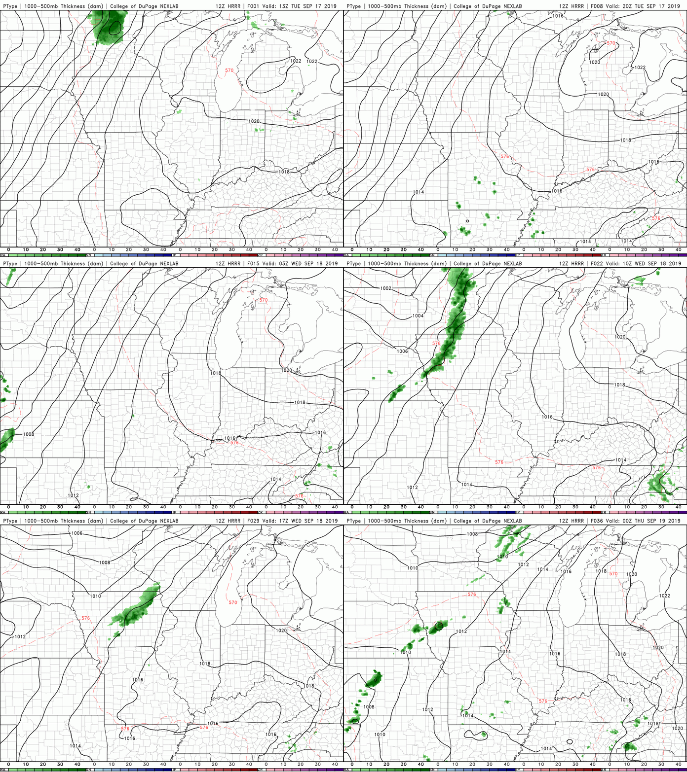
Pretty warm start to your Tuesday with current temperatures (as of 11:45am) sitting in the upper 80's across much of the region. By this afternoon we will have high's in the lower 90's and feel like temps in the mid 90's. Something we should be paying attention to is our drought monitor. With drier air and cooler temperatures expected to move in, we need to be cautious for wildfires. Overall, the drought intensity across the state isn't too bad with abnormally dry conditions in the NE and Plateau. Near Bradley and Hamilton counties (Chattanooga) we are a bit more dry with moderate drought currently taking place. I will keep you up to date on these drought conditions the next couple of week, as limited rainfall is in the forecast. I wanted to share this awesome GOES-16 EAST Satellite imagery with you from last night around 7:30pm. You can clearly make out the transition from day to night across the US, as well as hurricane Humberto off the east coast. As for the east half of the USA, there is limited cloud cover and that's due to the high pressure system that's been dominating the area. As you can see, the high pressure system will stick around today. Working into Wednesday, though, it will begin to slide out allowing for cooler and drier air to move in for the later half of the work week. It'll feel a little closer to fall with those highs in the mid 80's and dry air. As we get back into your weekend, though, warmer temperatures and more humid air will begin to funnel back in. Little activity expected this afternoon and into your Wednesday, as that high pressure system will do its job. Tomorrow afternoon a few of us in the higher elevations could see an isolated shower or two (20% chance), but overall I expect for most of us to stay dry and warm once again. Thats it for your Tuesday forecast, but there is some cooler and drier air in the forecast. If you can push through today and tomorrow, anticipate better conditions to close out your work week.
0 Comments
Leave a Reply. |
Your trusted source for everything weather in East Tennessee.
Social Media
|

