|
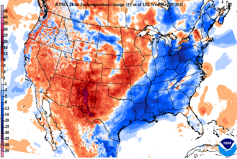
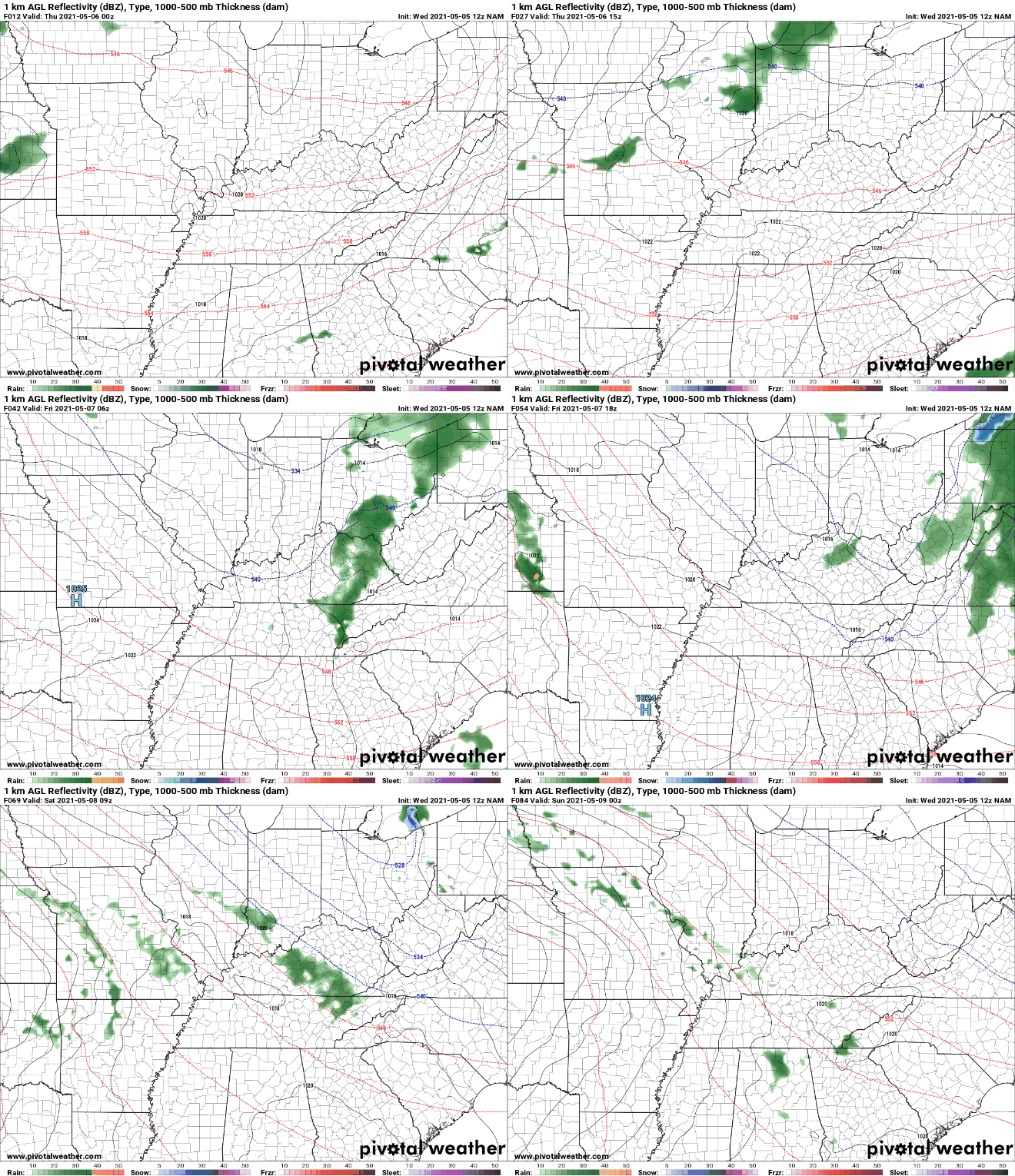
We are quite a bit cooler than we were this time yesterday thanks to a cold front just to our east. We have also begun to dry out with only a few lingering light showers along the Smokies this afternoon. High pressure sits just to our west and will bring, overall, drier air the next few days. With the heavy rainfall we picked up yesterday and the higher than normal amounts we have seen so far this year, Tennessee remains at normal, with no signs of any dry or drought related cases. Looking into the future, I fully anticipate this trend to continue as data suggests above average precipitation through at least mid to late May. It is notable to mention a system near the Great Lakes will swing through late Thursday bringing the opportunity for isolated light showers/sprinkles Thursday night and early Friday morning. This will obviously bring some cloud cover as well, but am expecting sunny skies to return by Friday afternoon. Our next real rain maker doesn't arrive until the second half of the weekend with showers and a few thunderstorms possible Sunday afternoon. We will close by saying another cool trend is expected over the next week or so. Temperatures will be cooler than average tomorrow and Friday but also again next week. We aren't anticipating frost/freezing conditions, but am expecting cooler than average temperatures. We'll keep you posted, but for now, enjoy improving weather conditions. Pre-recorded for 5pm show
0 Comments
Leave a Reply. |
Your trusted source for everything weather in East Tennessee.
Social Media
|


