|
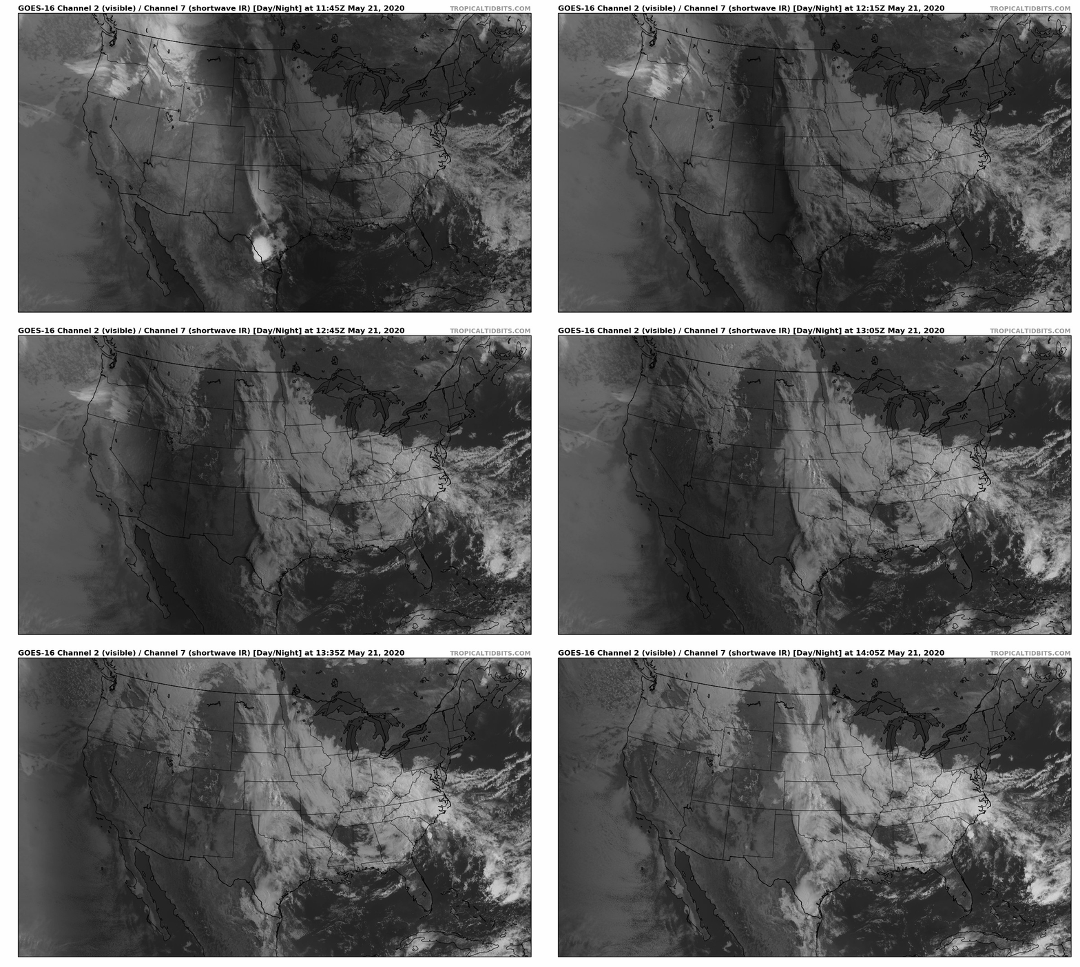
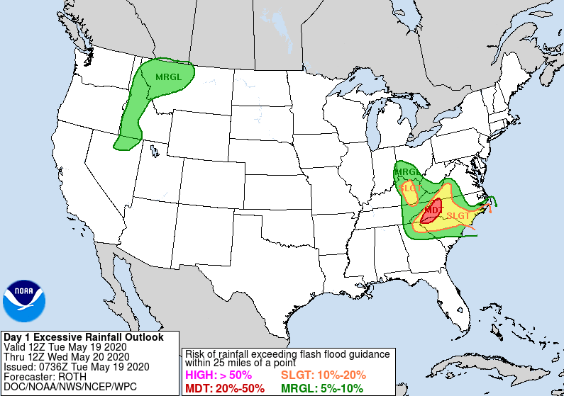
I frequently talk about the "counter-clockwise flow" of low pressure systems so I thought I'd share a perfect example of that here at home. To the far east (right side of the image) you can make out Arthur swirling in the Atlantic as well. Getting back to east Tennessee, a mix of sunshine is possible early this afternoon but more rainfall will arrive late today and into the overnight hours. As we pointed out yesterday, flash flooding will remain the largest concern in the days to come. This is especially true for western North Carolina. As of this morning, our office station picked up 1.25" of rainfall with an additional 1" to 2" expected in the coming days. Model guidance also shows the counter-clockwise flow of the low overhead as scattered showers are expected to continue through Wednesday and parts of Thursday. To end the work week on Friday, showers are likely early with sunshine beginning to work in for the afternoon. Saturday will be partly cloudy with isolated shower chances throughout the day. We won't have all day rain events, but look to have shower chances stick around each day through early next week. Temperatures will remain on the cool side the next couple of days but as this system breaks down and moves out, we will slowly warm back up to the 80's by Saturday. As always, we will updates you with the latest! Be safe and let us know what you are seeing around east TN.
0 Comments
Leave a Reply. |
Your trusted source for everything weather in East Tennessee.
Social Media
|


