|
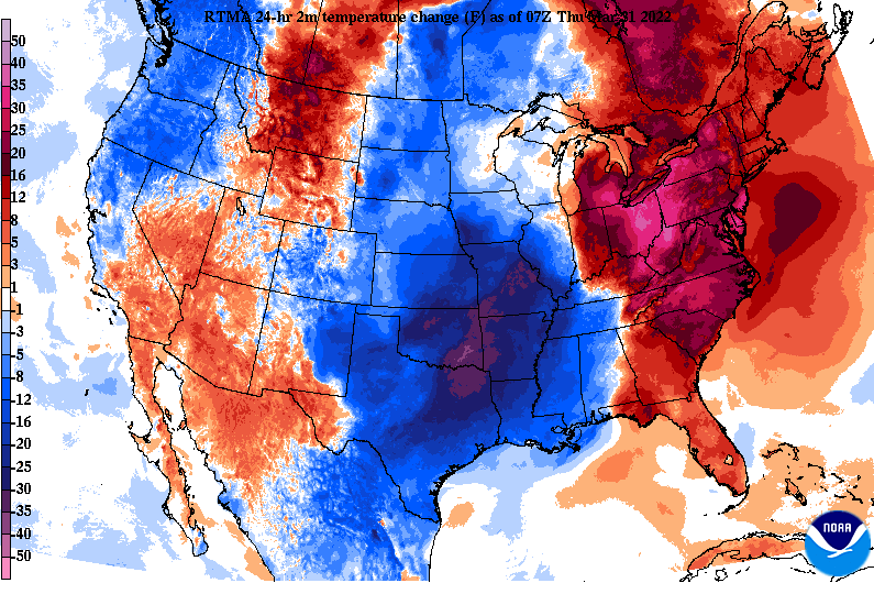
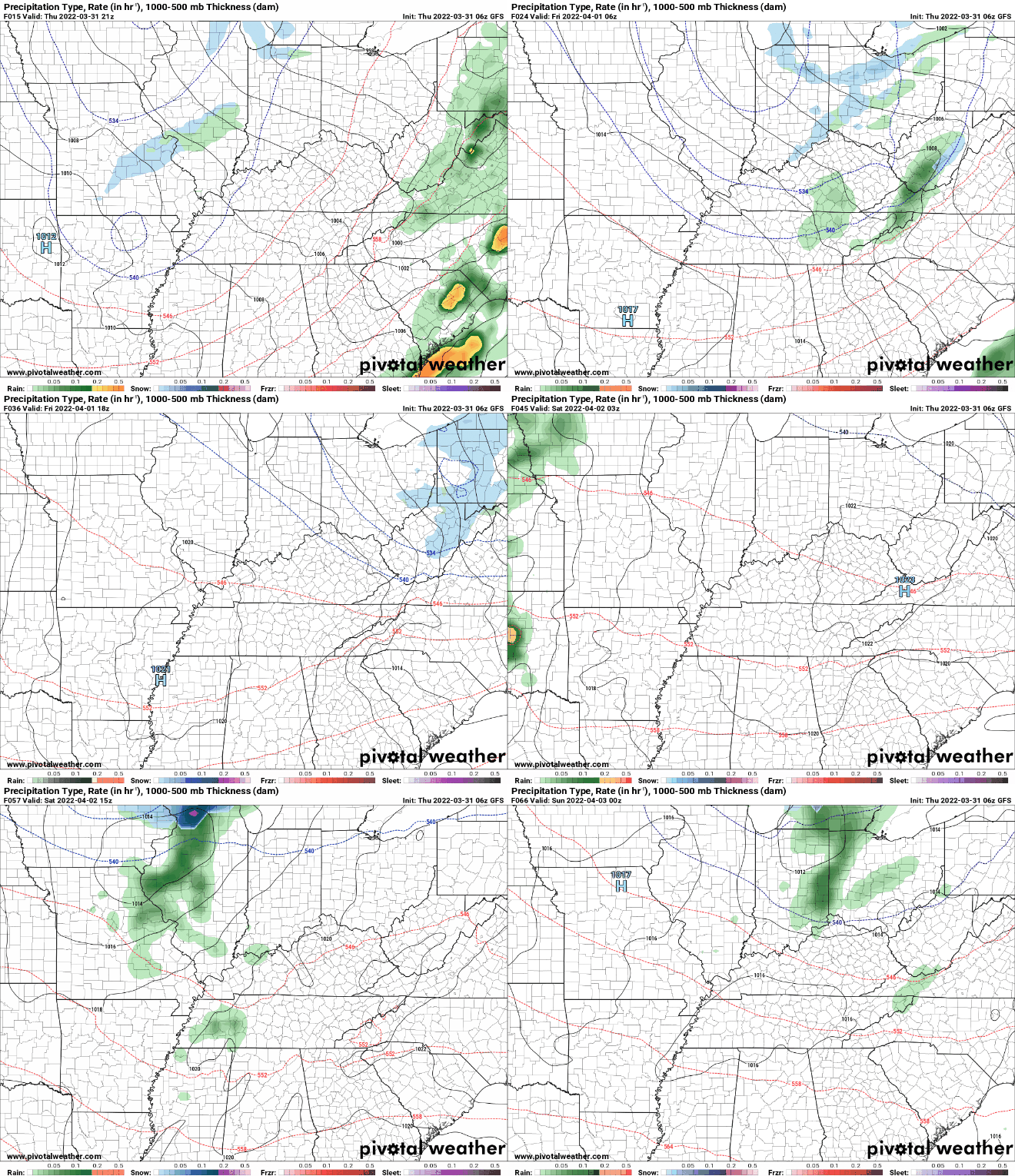
Due to gusty winds and a line of showers and storms, tens of thousands of power outages are being reported this morning. East Tennessee has the bulk of these from the gusty winds, and crews are out now rapidly trying to restore power. This map is as of 6 am this morning. Looking at nation-wide temperatures changes, much cooler air is across the Central and Southern Plains. This will filter in across our neck of the woods today and especially Friday. Highs to end the work week tomorrow will range from the mid to upper 50s under mostly sunny skies. Over the next several days, the most significant rainfall expected will come Tuesday and towards midweek. A passing and weak disturbance will graze the area Saturday, providing isolated showers to sprinkles, otherwise cloudy skies will be the main result. Friday, Sunday, and into next week will primarily be sunny to partly sunny with warming temperatures from Friday and onward. We will highlight some of the strong winds gusts reported from last nights event tomorrow, with the mountains reporting gusts well over 70 mph. For now, cooler air finds us today and tomorrow before temperatures warm each day thereafter. Have a good one! Pre-recorded for 5pm show
0 Comments
Leave a Reply. |
Your trusted source for everything weather in East Tennessee.
Social Media
|


