|
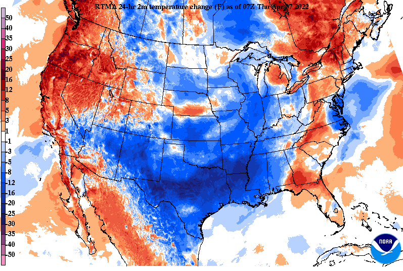
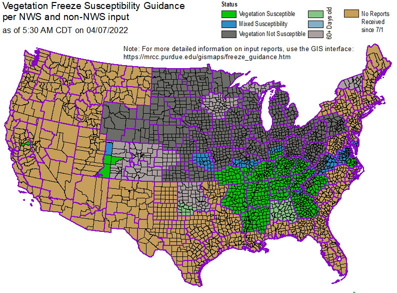
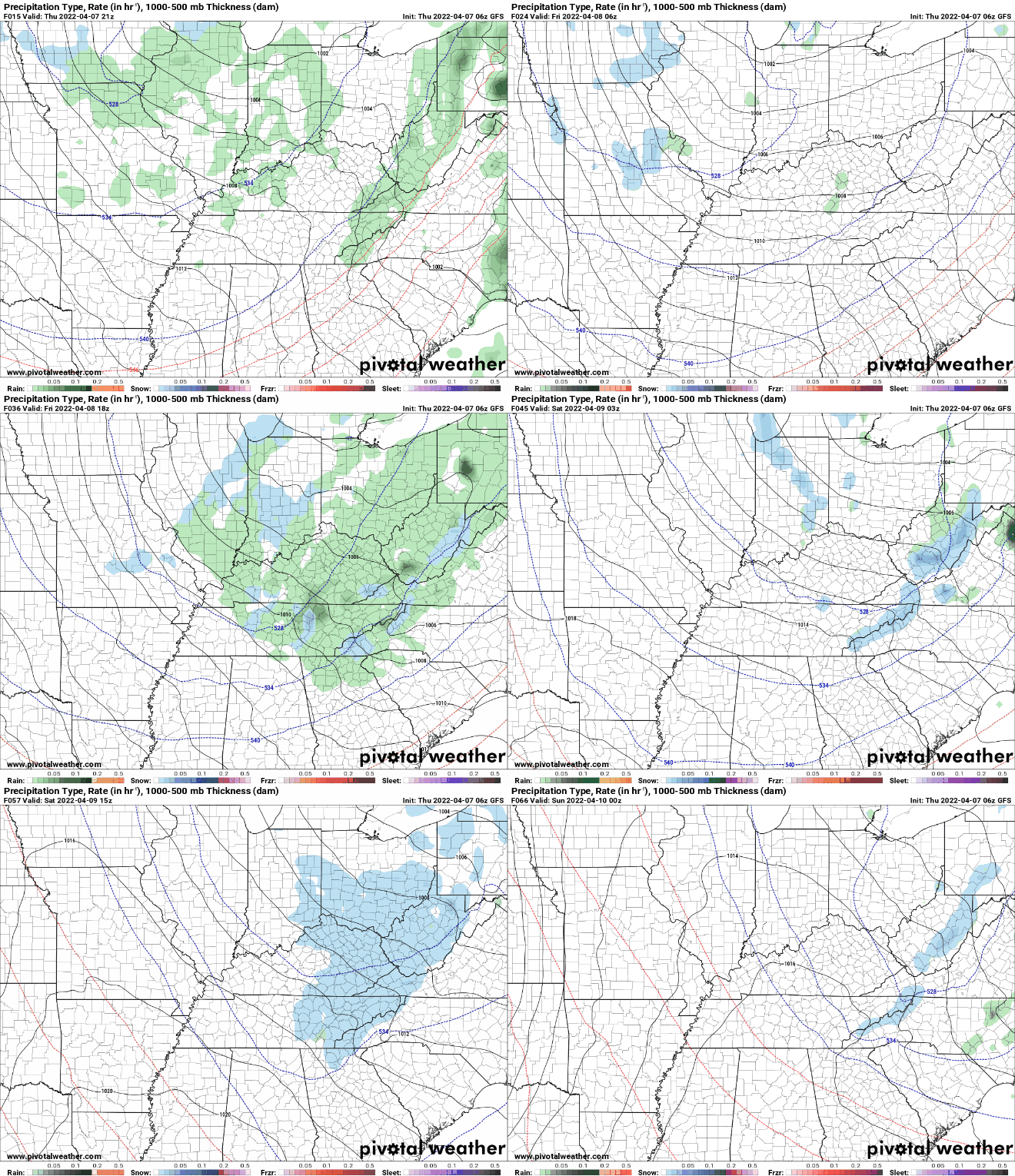
Good morning! Much cooler as you walk out of the door today than compared to this time yesterday. With the passage of the cold front, most areas will only top out in the low to mid 60s today. This cooling trend will only continue through Friday and into Saturday as well. Looking at the break down for vegetation susceptibility, we are in the green. This means the growing season across the Tennessee Valley has kicked off and plants will be prone to freezing and frost conditions. With freezing temperatures on our radar, be sure to have a way to protect your "greens" Friday night and again Saturday night. With an upper level disturbance rolling in from our north, showers will once again return tomorrow afternoon and into Saturday. With temperatures falling to near freezing overnight Friday, some areas could see a few snowflakes fly. Yes, in early to mid April! No accumulations are expected across the valley, but it will be a not so common site to see a few flakes overnight Friday and into Saturday morning. Following, sunshine makes a return for Sunday, with temperatures rebounding into the 60s. That will wrap it up for today, the main takeaways are the cooler temperatures in the days ahead. Be sure to dress warm, cover those plants, and don't forget the umbrellas for scattered showers tomorrow afternoon and evening.
0 Comments
Leave a Reply. |
Your trusted source for everything weather in East Tennessee.
Social Media
|


