|
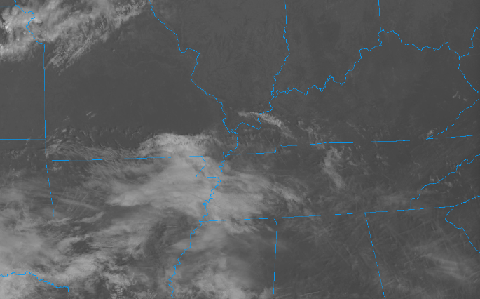
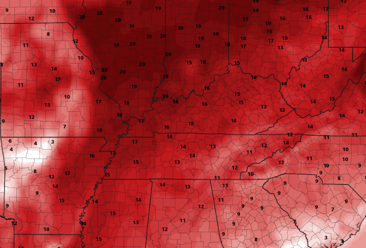
High clouds and plenty of sunshine is in the forecast today. We will even see highs near average: upper 60s to low 70s. Aside from this, dry conditions will continue to haunt us, with rainfall not back in the forecast for at least a week out. Strong high pressure looks to win out, deterring rainfall chances a little longer. This is not good news in terms of the ever growing drought, which has expanded to severe for a third of the state. With high pressure remaining dominate this week, temperatures will take a big bump up. With highs the past several weeks near to below average, we will swing opposite. Highs will warm to well above average, with locations Thursday and Friday as warm as 10 to 15 degrees above the norm. We could be nearing record territory in fact, so something we will keep a close eye on. Values Wednesday through Friday will range from the mid 70s to around 80 degrees. Even warmer air could find us into the weekend. Quiet forecast ahead, which is typically good, but with drought/fire risks growing it may not be. Enjoy the abnormally warm temperatures over the next 5-7 days and we will hope for a good rainfall thereafter. Pre-recorded for 5pm weather broadcast
0 Comments
Leave a Reply. |
Your trusted source for everything weather in East Tennessee.
Social Media
|


