|
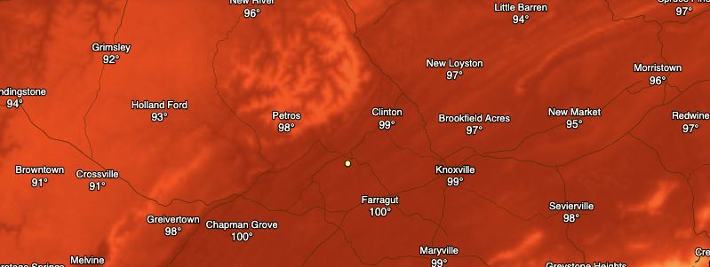
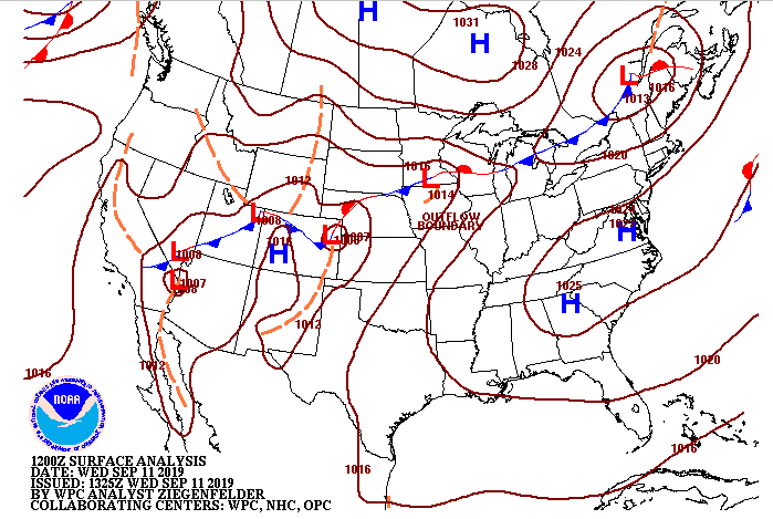
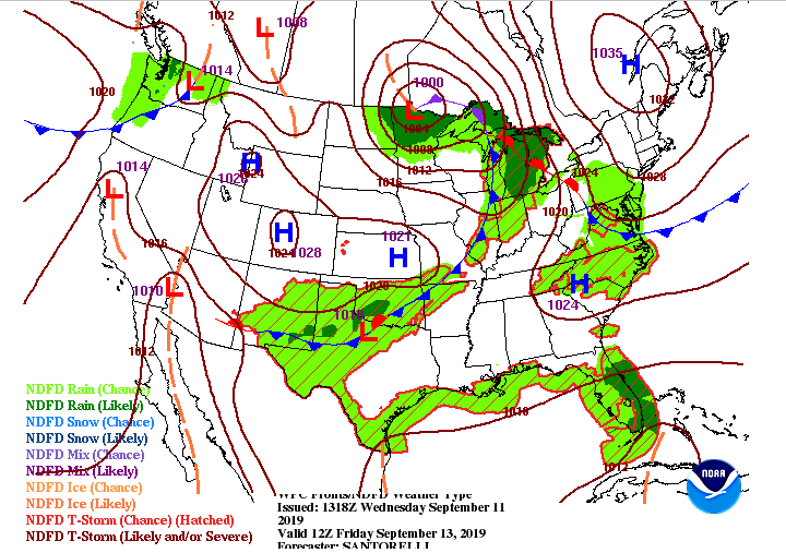
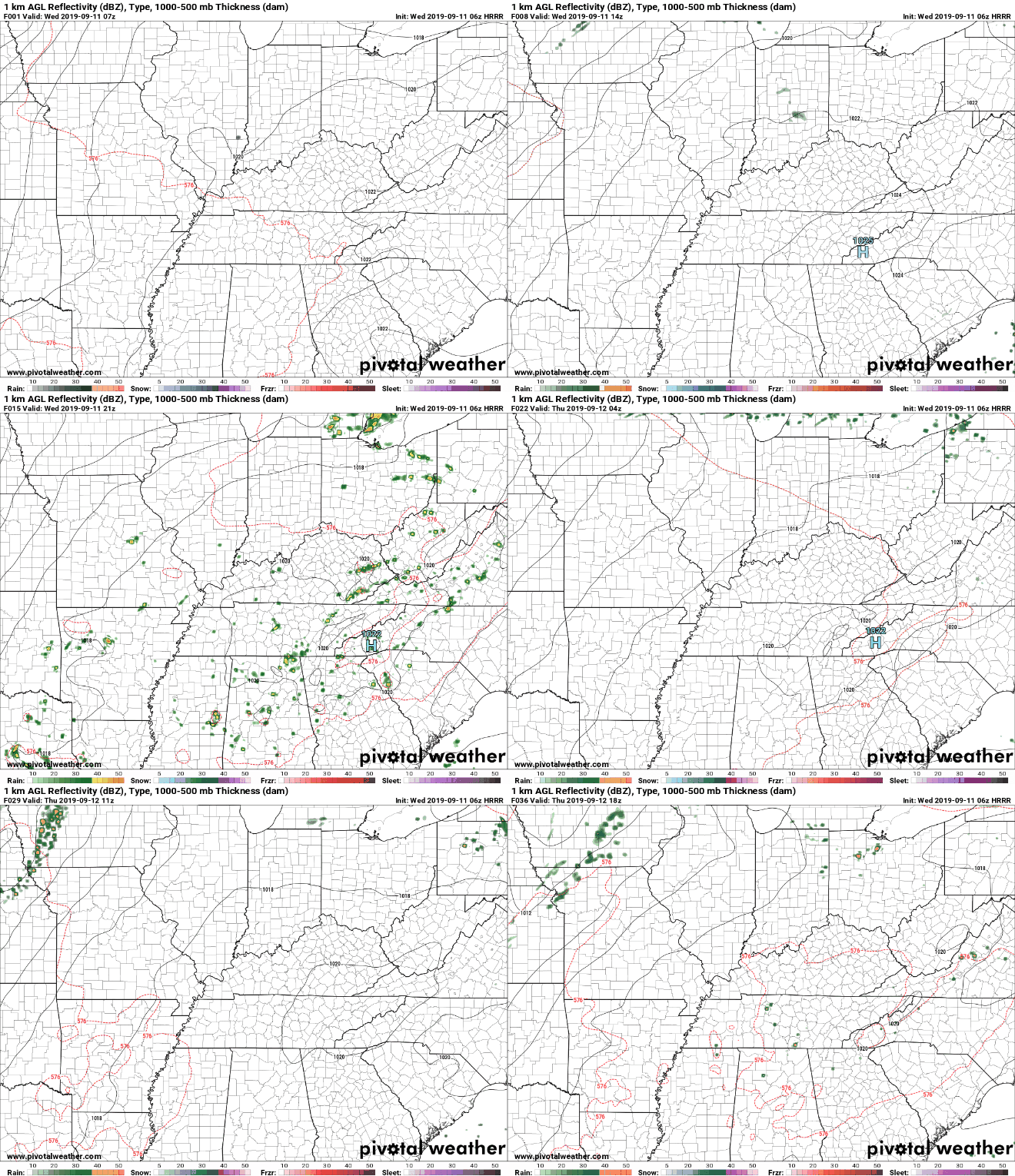
Good afternoon and happy Wednesday! As I am sure many of you are asking, when is Fall? Well, Autumn technnically begins September 23rd, but this summer time pattern will continue to stick around until at least the early part of October. If you take a look below, these are the expected heat indices across the area this afternoon. It'll be another hot one with "feel-like" temperatures expected to be in the upper 90's for much of east TN. The latest surface map shows why things have been so hot and sunny and that's due to a high pressure system that has stuck around for several days. Slightly (and I emphasize slightly) better news is in the forecast though as we will have a cold front push through late Friday and into Saturday. Ahead of this front we could see some scattered showers and storms, allowing for some cooler temperatures and rainfall at times. Overall, high's will be knocked down a touch with lower 90's expected this weekend. Not too expected in the near future as that high pressure system will do its job providing lots of heat and sunny skies. This afternoon and early evening we could see an isolated storm develop in the higher elevations, which could roll through the valley, but chances are low. For Thursday, much of the same as an isolated storm or two cannot be ruled out, but these will stay mainly in the higher elevations. Thats a wrap for today but continue checking back in with us here and social media (@SecretCityWX) for the latest regarding any shower development, as well as those temperatures. Have a great Wednesday!
0 Comments
Leave a Reply. |
Your trusted source for everything weather in East Tennessee.
Social Media
|


