|
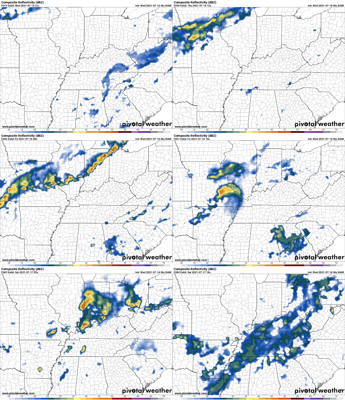
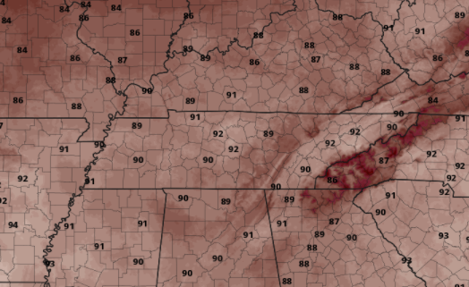
Some better news for those wishing for drier days...the front has shifted through the region. This means high pressure will continue to edge in across the Southeast, bringing drier weather to East Tennessee. On the flip side, this will also increase temperatures through the end of the work week. Only isolated showers/storms are possible today and tomorrow, with most of these contained to the higher elevations. Looking at modeled temperatures, most valley locations will top out in the lower 90s Thursday and Friday. Given the southwest return flow, humidity will also be an issue. This will make things feel even warmer than they are. Practice your heat safety if you plan to be outdoors for extended periods of time. Take advantage of the briefly drier conditions expected. It may be a good one to enjoy by cooling off at the lake or pool. Showers/storms and a messy pattern again find us this weekend and into early next week. Pre-recorded for 5pm show
0 Comments
Leave a Reply. |
Your trusted source for everything weather in East Tennessee.
Social Media
|


