|
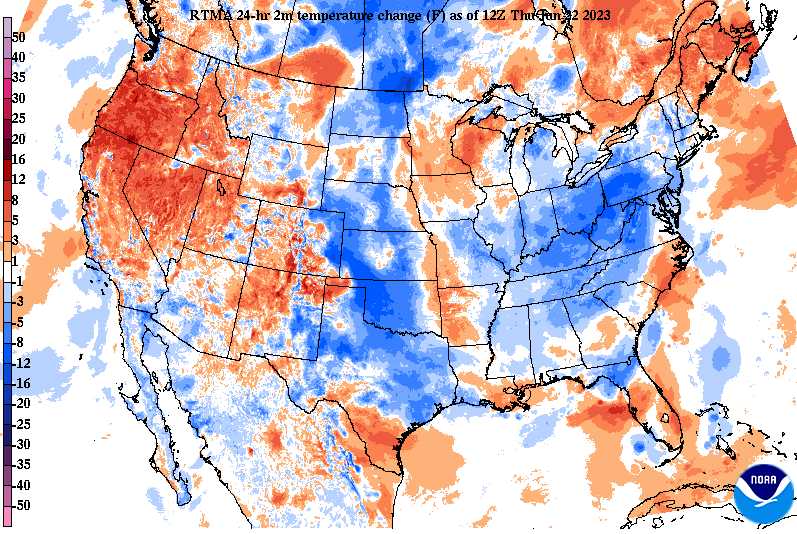
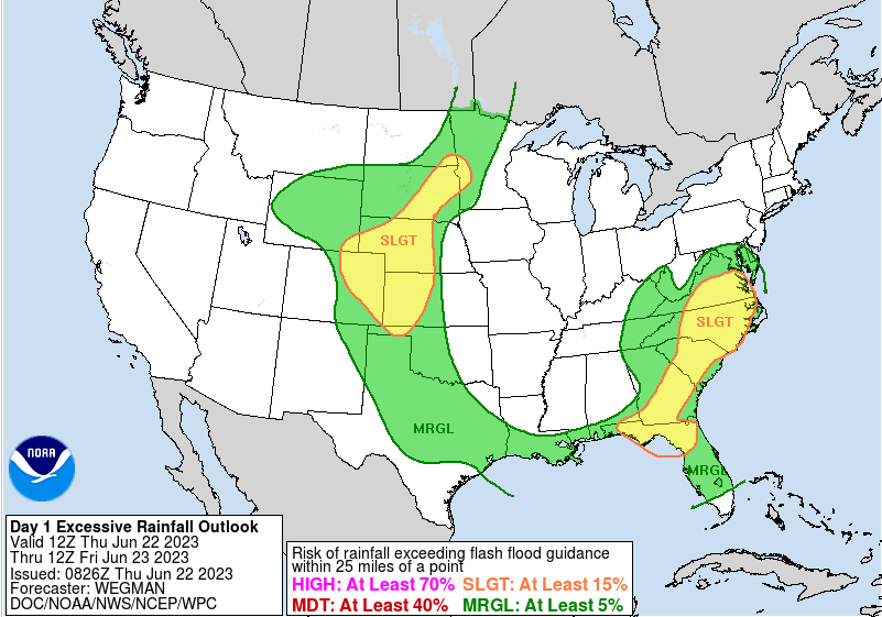
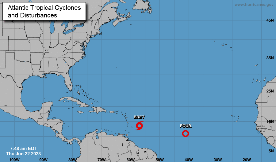
A cool morning overall, with most in the upper 50s to low 60s. We will warm a bit more by this afternoon, but with dense cloud cover and shower activity, most will only find the low to mid 70s. This is several degrees below average. Looking below, morning showers have really played a role in temperatures, where most locations are 5 to 10 degrees cooler than this time yesterday. It should not come as much of a surprise as rounds of rainfall in recent days has really moistened up soils across the area. We have had on going rainfall this morning, which should continue at times throughout the afternoon. That said, rainfall rates have been on the lighter side thus far and will minimal "energy" to work with, thunderstorms will not be anything too crazy. This should limit heavy rainfall rates and flash flooding potential, but we are not out of the woods entirely for flooding risks. The good news is moving forward activity dwindles tonight, with mainly scattered activity the first half of the day tomorrow. Generally drier and warmer air then builds in throughout the weekend, before another shower & storm chance early next week. Looking elsewhere, the Tropics remain active. Tropical Storm Bret is expected to work towards Central America in the days to come, while Tropical Depression 4 is working not too far behind. This depression will be the one to watch, as it strengthens over the next 24 to 48 hours into a Tropical Storm or greater. Current forecasts depict this working northwest, towards the Bahamas and possibly the USA. We are still several days out, but something to look out for if there is family, friends, or a vacation plans in the south. Check back in for updates in the days to come. Showers will remain hit and miss throughout today, with activity more scattered through Friday. Some needed drier and warmer air then returns Saturday and Sunday, followed by another round of showers and storms early next week.
0 Comments
Leave a Reply. |
Your trusted source for everything weather in East Tennessee.
Social Media
|


