|
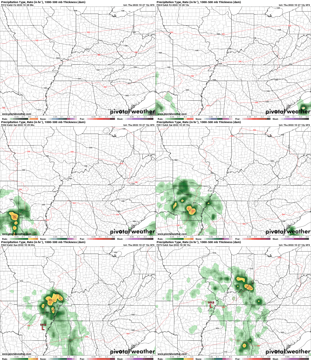
Good afternoon! Temperatures started off cool, but we have since warmed to the mid 50s (noon). We will continue warming into this afternoon, finding highs in the mid and upper 60s (on par with seasonal averages). As promised, here is the latest release of the drought across the state. As expected, no improvement seen, with in fact a decline across the southern valley. Given the rainfall we had two days ago and another round this weekend/early next week, we should see some much needed improvement late next week. In terms of our next system, it's pretty straight forward. The low will track just to our west, allowing for increased cloud cover Saturday, showers into Saturday night and through Sunday, and then gradually clearing skies Monday. Rainfall amounts will vary, with the highest amounts across the Plateau and west. With that said, anywhere between 0.25 and 0.75" is expected. A helpful amount, but not nearly enough! Overall, temperatures will be seasonable through Saturday, before showers arrive late weekend and early Monday. Have a good one and don't forget to follow us on social media @SecretCityWx
0 Comments
Leave a Reply. |
Your trusted source for everything weather in East Tennessee.
Social Media
|


