|
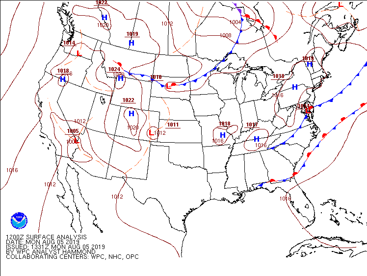
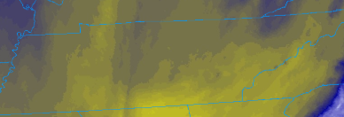
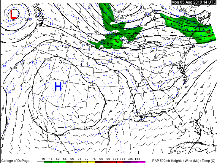
Happy Monday to everyone. This week we will continue much of the same as we have had. Taking a look at the current surface analysis map we see a high pressure system hanging over the region. This will keep us mostly dry and warm today. As we push into Tuesday, I expect much of the same as our next real rain chance doesn't arrive until Wednesday. As you can see from the map below, a low pressure system currently located in the South Dakota/Iowa area will bring with it storm potential mid week. First, looking at our current conditions we see mostly sunny skies across the entire state. Along with the sunny skies, satellite indicates a dense layer of dry air (second image below). The high pressure is contributing to all of these factors, thus, shower potential will be held at bay today. To our east, we could see some afternoon pop up storms (due to orographic lift) but these will stay in the higher elevations. Moving forward, the low pressure system (as described above) will follow the trough pattern (flowing to the southeast), which will impact our area late Tuesday into Wednesday. Along with this low is an associated cold front that will bring storm potential ahead and cooler temperatures following. This will also leave the door open for the remainder of the week as northwest flow in the trough could allow for addition development following the cold front. Overall, Wednesday will involve scattered thunderstorms bringing heavy downpours, the possibility of small hail, and gusty winds at times. Current models indicate the bulk of rain will be in the middle Tennessee area with upwards of half an inch possible. As I mentioned, the current pattern will allow for storm formation each afternoon for the remainder of the work week and into the start of your weekend. As discussed, models are trending toward the bulk of rain landing in the middle Tennessee area. As I do expect this to be the case, I also would warn taking this run as is. I believe in total we could see up to a quarter of an inch in spots with a few strong to even severe storms at times. Friday we could see similar action, but I will have a better picture as time gets closer. Until then, enjoy some sunny weather today and tomorrow. Wednesday we will cool off a bit, thanks to the rain, and then afternoon storms remain possible through the end of the week.
1 Comment
9/5/2019 06:45:28
Eumaxindia is a Hoarding advertising agencies offering unique and best centralized places for Billboard Advertising and hoardings display at Chennai, Tamilnadu
Reply
Leave a Reply. |
Your trusted source for everything weather in East Tennessee.
Social Media
|


