|
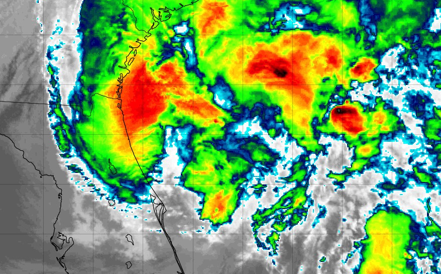
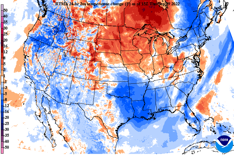
Howdy all! Another gorgeous day across the Volunteer State, with sunshine and temperatures in the mid 60s (1 pm). Over the next couple of hours, most valley locations will find the low 70s, before another cool night finds the area. Looking well south, this is what is left of Ian (now a tropical storm). Ian worked through much of the state of Florida last night and is now back into the Atlantic looking to target the East Coast. (continue reading for more information on its impacts locally) In terms of temperatures today, we are already seeing a trend of warmer conditions build in. As high pressure shifts east, warmer air is moving into the Midwest and Ohio Valley. Similar conditions are in for tomorrow, before remnants of Ian and its associated cloud cover bring cooler highs this weekend. In terms of Ian, the path has slightly shifted (good news). As we talked about yesterday, an eastward shift would result in lesser rainfall, and well, that's exactly what looks to happen. With the Appalachians in place (acting as a wall), dry descending air moves in, which results in lesser rainfall. With that said, northeast Tennessee will likely see periods of heavy rain as remnants of the system work across these locations. The good news still though is that this is over the course of a couple of days, so flash flooding/flooding potential is low here. Across the valley, scattered showers and cloudy skies will be the main result, with the best chances through the day Saturday. The further west you go, the less opportunity for rainfall you have. By early next week, drier conditions build back in as remnants of Ian shift east and out of the area. Remnants of Ian and its associated rainfall will be a good thing. We have been pretty dry the past couple of weeks, so rainfall is welcomed. This system should be out by midday Monday, with sunshine and near average temperatures returning toward mid week. Check out our video forecast below for more. Pre-recorded for 5pm weather broadcast
0 Comments
Leave a Reply. |
Your trusted source for everything weather in East Tennessee.
Social Media
|


