|
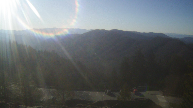
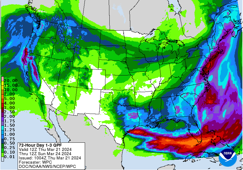
Lots of sunshine across the Smokies mid morning, with current (9:30 am) temperatures in the low to mid 40s in the valley. Elsewhere, a little cooler with upper 30s across the plateau and foothills. Progressing through the day, everyone should warm up nicely, with highs in the mid 60s for many. High clouds will increase this afternoon and tonight, ahead of our next weather disturbance. In terms of rainfall, upwards of half an inch is expected for most, but locally up to an inch is possible for those further south and east. The timing of rainfall varies, with low end chances late tonight into Friday morning and the best chances Friday afternoon through the early nighttime hours. The good news, rainfall should be out of the way by mid morning Saturday, with cloud cover slowly eroding the later half of the day. Sunshine returns in full blast on Sunday, with temperatures a few degrees warmer (in the lower 60s) as well. Aside from our quick clip of rainfall Friday into early Saturday, things should be quiet and relatively seasonal. Winds will be a little breezy Saturday with the passage of the system and we'll see another opportunity for rainfall Monday night towards midweek. Have a good one and enjoy the early Spring season!
0 Comments
Leave a Reply. |
Your trusted source for everything weather in East Tennessee.
Social Media
|


