|
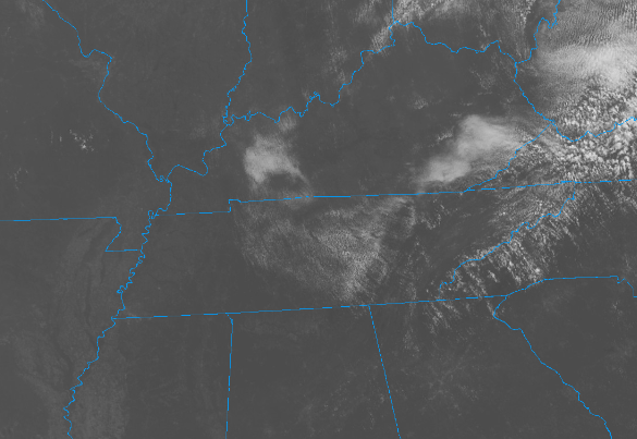
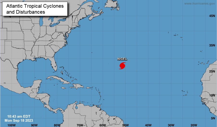
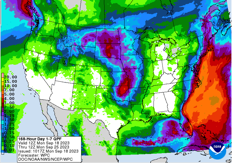
A beautiful early afternoon across East Tennessee with mostly clear skies above and noon temperatures varying from the upper 60s to low 70s. Into mid afternoon, temperatures should notch up a few more degrees, topping out in the mid to upper 70s for many. Similar trends can be expected in the days to come, with slightly warmer air each day through the end of the work week. By Friday, we'll see highs return to the low and a few mid 80s. The tropics are beginning to quiet down, at least this week, with hurricane Nigel working through the Central Atlantic. The good news is this system will veer north and east, with no impacts expected to the States. High pressure has settled just north of the state and will stick around for some time. Looking at the 7-day QPF (quantitative precipitation forecast), no rainfall is expected now through the weekend. We could see very low end chances late Sunday into early next week, but up until that point, dry weather prevails. A very quiet week is ahead, with cool crisp starts, mild afternoon highs with plenty of sunshine, and patchy fog at times in the late overnight. Outside of this, temps will trend up a degree or two each day, finding the low to mid 80 by Friday afternoon (near to above average). Enjoy and have a good one! Pre-recorded for 5pm weather broadcast
0 Comments
Leave a Reply. |
Your trusted source for everything weather in East Tennessee.
Social Media
|


