|
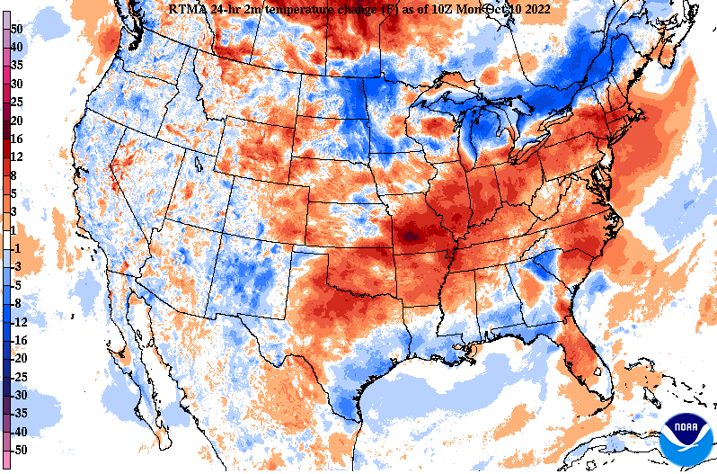
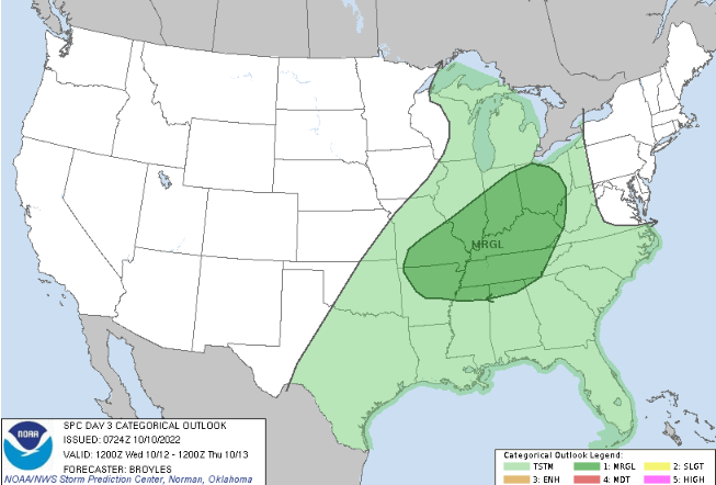
I hope you are enjoying Columbus Day thus far! Though it may not feel like it, we are starting out warmer than this time yesterday. Highs will find the upper 60s and low 70s this afternoon, warming to the mid 70s tomorrow. Moving forward, a potent cold front is in route, bringing MUCH needed rainfall to East Tennessee. Looking at guidance below, the best rain chances will arrive into Thursday morning, but a few isolated showers can't be ruled out late Wednesday. Totals aren't overly impressive, but we will take what we can get. For now, anywhere between 0.25 and 0.5" is expected with locally higher amounts possible in thunderstorms. Dry and cool conditions then return Friday and into the weekend with highs falling back in the 60s. Along the front there is a low end chance for severe weather. A Marginal (1/5) risk is in place Wednesday night into Thursday morning, with damaging wind gusts the primary threat. We will have to keep an eye on the evolution of this system, as guidance is hinting at the better potential much further north. Continue to check back in with this system, as some changes are likely. The good news: rain returns! Enjoy a beautiful day across the Volunteer State, with even warmer temperatures in tomorrow. Pre-recorded for 5pm weather broadcast
0 Comments
Leave a Reply. |
Your trusted source for everything weather in East Tennessee.
Social Media
|


