|
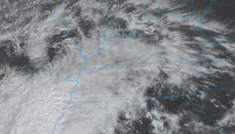
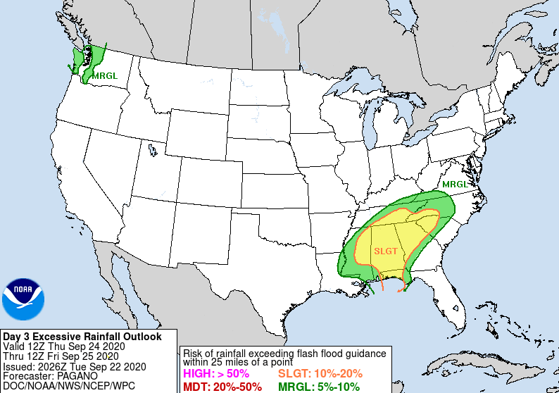
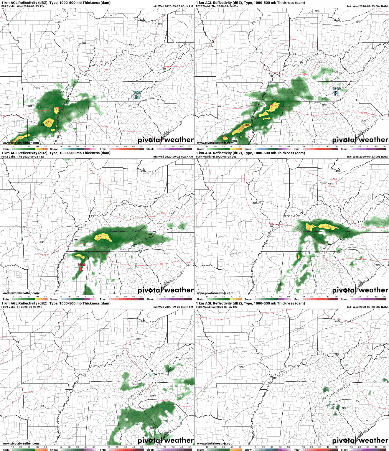
Good afternoon! Cloud cover continues to pour in from the south and west as remnants of Beta draw closer. For the most part, showers will stay contained to the west, but a few light sprinkles are possible in the Plateau this afternoon. As we work ahead, expect showers to slowly work in tonight and throughout Thursday. The Day 3 release from the WPC shows a Slight risk of flash flooding across the southern half of the viewing area. A 10% to 20% chance of flash flooding is possible. Those who are in low-lying areas and flood-prone areas, take the proper precautions now. Showers are expected to work in Thursday morning and continue on and off through Friday morning. A look at model guidance shows showers from Beta working in from the south and west. Given the orientation of the rainfall and movement, east Tennessee will likely get hit the hardest will rainfall totals as high as 3+". If you recall from Monday morning, models indicated heavier rainfall totals would stay further west but as we are getting close to time, they've worked a bit further east. Flash flooding definitely is something of a concern Thursday through Friday morning, so check in here, the NWS, and local emergency officials for updates. By Friday night we should have a brief reprieve from rain before isolated to scattered showers arrive for the weekend (associated with a second system). Better news is in the long term as another large cold front is planned for late September and early October. The latest data is suggesting high's as cool as the mid 60's by early October so stay tuned for changes/updates. For now, keep the umbrellas handy and look out for flooding across the region. We welcome your reports and they can be sent via email at SecretCityWx@aol.com or by tagging us on social media. We will pass those along to the NWS in Morristown.
0 Comments
Leave a Reply. |
Your trusted source for everything weather in East Tennessee.
Social Media
|


