|
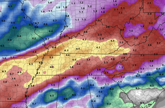
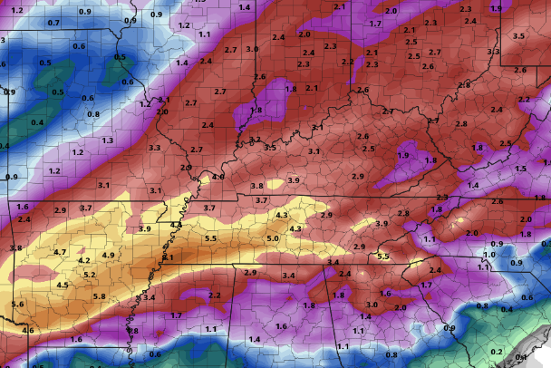
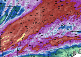
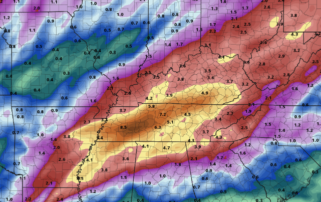
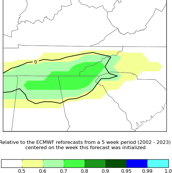
Good morning! Quiet so far but that'll change into this afternoon. A cold front is building across West Tennessee, where showers and possibly a storm will fill in just after lunch today. These will be widespread in nature, but diminishing by late evening. Additionally, it's going to be a breezy one. Winds out of the southwest will blow between 10 and 20 mph with gusts of 30 to 40+ possible in the valley. Even higher readings are expected for the elevated terrain. Following the front tonight, high pressure will bring dry conditions Tuesday. Highs will maintain their above average state, topping out Tuesday in the upper 60s and low 70s under partly cloudy to sunny skies. This will be short lived unfortunately, as a very unsettled pattern presents itself Wednesday through late Friday. Several passing low pressure systems will bring rounds of showers and some storms (some of which could be strong to severe) during this timeframe. Showers will generally start Wednesday night ad continue on and off with each passing system through Friday night. Breaking this down further, how much rain are we actually talking? Well...thats still largely up for answering. What can be said is rain is certain at times Wednesday through Friday. Guidance shows the large contrasts between various models, ranging from 1-2" all the way up to 3-5". Probabilistic data further highlights these differences, making it challenging to pinpoint exact totals at this time. With all of that said, flooding (of rivers) will be something on our radar. Flash flooding will also be a concern, particularly Thursday night into Friday. Adding more fuel to the flame, some strong to severe storms will be possible with strong wind gusts (outside of storms) again likely Friday. Continue to check back in with us for the latest forecast. SOME range of possibilities (take with a grain of salt)So in total, what does this all mean and what the heck is this graphic below? Well there's quite a bit of uncertainty. Piecing everything together though and analyzing the EFI, heavy and unusually high rains look increasingly likely. This graphic below assesses what ensemble members suggest versus whats common for late February. Values of 0.7 and higher suggest an extreme or likely case for high rainfall. Though this is just one piece of evidence among many, this is just another nudge toward lots of rain being possible. As far as what we are thinking total wise Wednesday night through Friday night, we are in line with 1.5-3" with locally higher amounts exceeding 4 to 5 inches not out of the realm of possibilities. Obviously we hope for a more southern track with system number one (Wednesday night into Thursday), while a more northern track with system number 2 (Thursday evening through Friday), but time will tell. For now, understand there's large uncertainty in guidance varying from low track, strength, speeds, and more so tune back in for further updates. We will have a better idea moving forward and guidance will narrow in on better agreement. Pre-recorded for 5pm weather broadcast
0 Comments
Leave a Reply. |
Your trusted source for everything weather in East Tennessee.
Social Media
|

