|
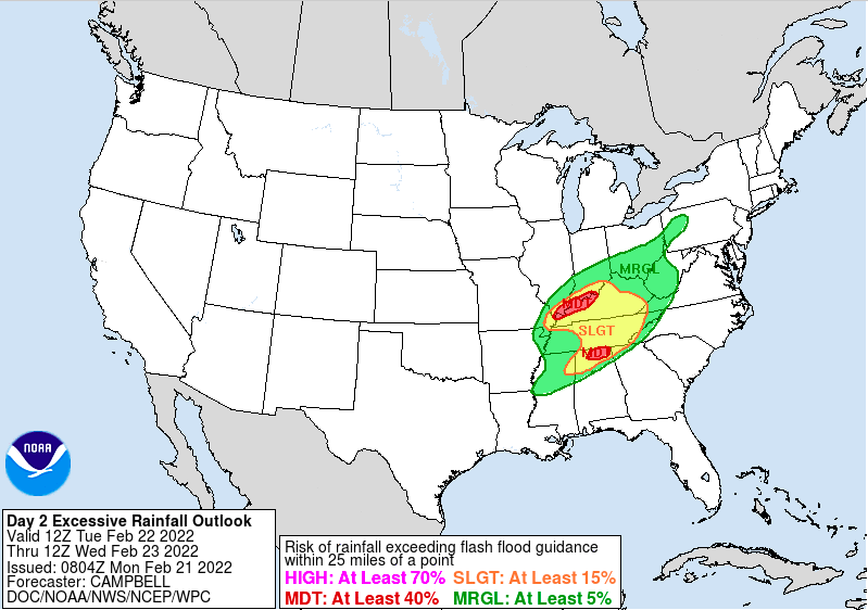
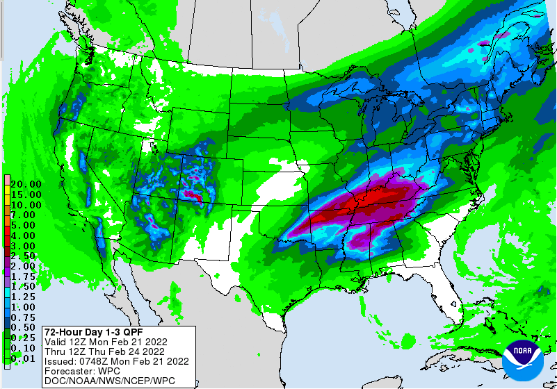
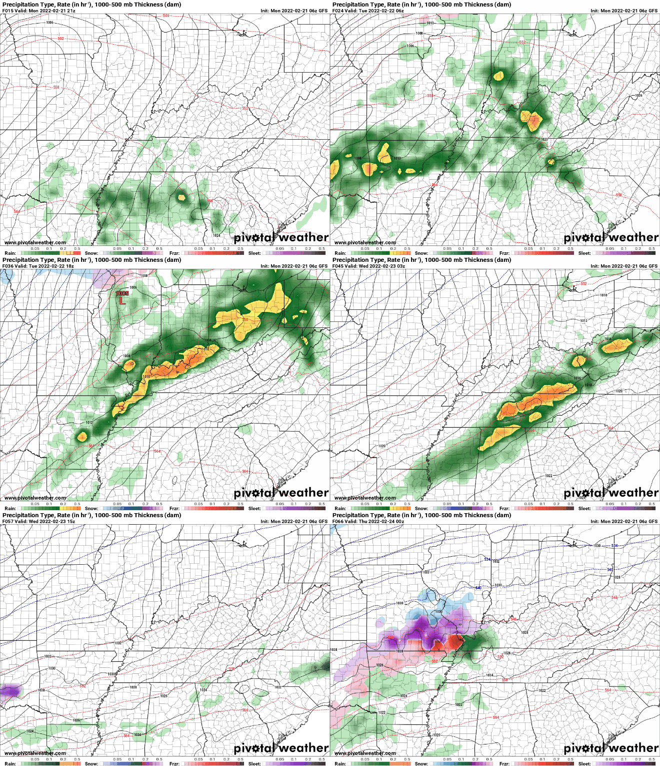
Happy Holiday! Diving right into this week, lots of rainfall is in store. Two systems will impact the area, one arriving tonight and Tuesday night, and a second Wednesday night and through Thursday. For system number one, a slight risk (15% chance or greater) of flash flooding is in place. Some locations (just to our south) even have a moderate risk (40% chance or greater). Have a way to receive watches/warnings throughout the week, as heavy rainfall will bring that potential. This is especially so for locations near water bodies, low-lying areas, and flood prone locations. The 1-3 day outlook (now through Thursday morning) shows 2-3 inches of rainfall, with locally higher amounts across the far south and across Western Kentucky. Our second round arrives Wednesday night and through Thursday, bringing an additional 1-3 inches. In total, 5-7 inches isn't ruled out for the week, creating the opportunity for significant impacts. There is some uncertainty on where this axes of heavy rainfall lines up, but guidance is coming into better agreement this will be off to our north and west (good news). Here is the break down of system number 1. Showers will arrive tonight and into early Tuesday morning. This will be followed by a lull in activity for the greater part of the day, before heavy showers and isolated storms arrive tomorrow night and into early Wednesday. Our next round then arrives Wednesday night and into Thursday. Continue to check back in with us and don't forget to check out our video forecast below as well as our "radar" tab if you want to see what's going on around you. Be safe, have a way to receive watches/warnings (if issued), and send us any reports you may have in the coming days. Pre-recorded for 5pm show
0 Comments
Leave a Reply. |
Your trusted source for everything weather in East Tennessee.
Social Media
|


