|
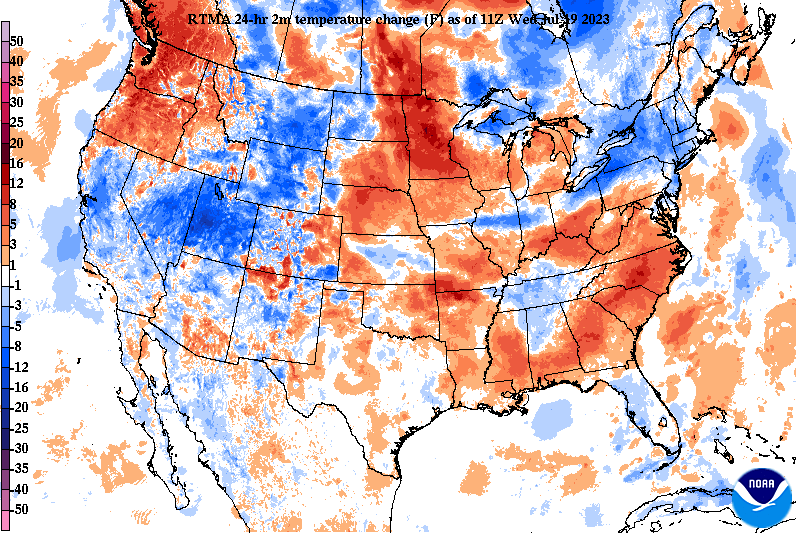
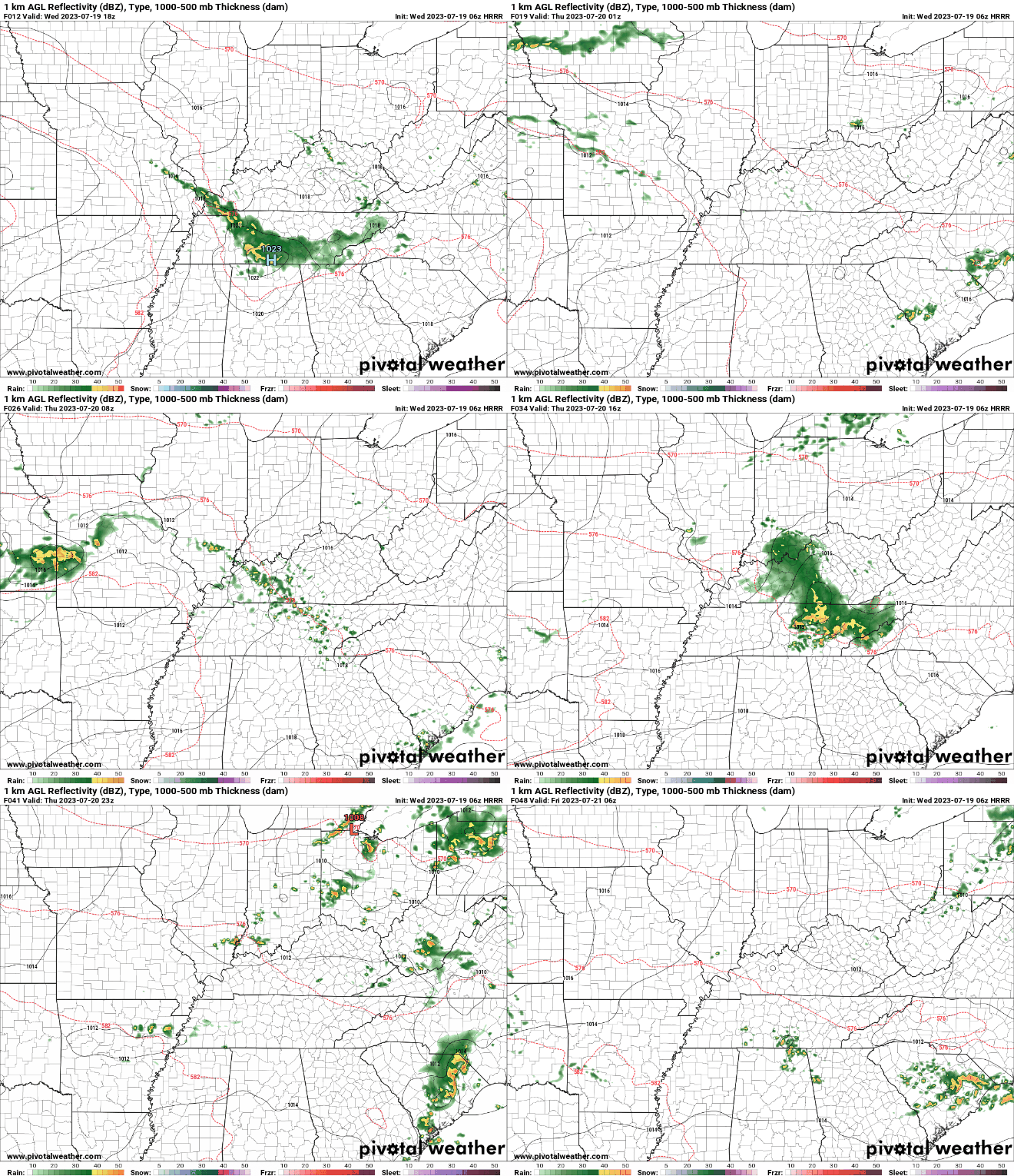
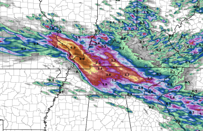
A pocket of cooler air across Tennessee and into Kentucky this morning, can you guess why? Rainfall! A complex of showers and thunderstorms is working out of Illinois, Missouri, and Kentucky and is sinking southeast with time. This will continue at times through the day, eventually coming to a close (for a time) this evening into tonight. So checking out this incoming "pain train," you can see the path this activity is taking- working across West and Middle Tennessee and progressing south into Georgia and the Carolinas. The biggest concern overall will be the flash flooding/flooding risk. With soaking rains seen from the past couple of days already, another few inches in spots will only increase those odds. Additionally, a few strong storms will be possible into this afternoon, with strong to damaging wind gusts and isolated instances of hail. Unfortunately, another round of similar circumstances finds us through Thursday. Again, strong storms will be possible into Thursday afternoon but flash flooding will be the higher risk through the day. Please be weather aware today and especially Thursday and have several ways to receive warnings if they are issued. Looking at rainfall amounts, pockets of 3-5"+ will be possible (with locally higher amounts not ruled out) through tomorrow. Concerns will be across the Plateau with terrain enhancement, along with any strong and repeated (training) storm activity. In general, 2-4" appears likely, with the least amounts in the southern plateau and far northeast Tennessee. Take precautions now to prepare for potential flooding and/or strong storms. Isolated to scattered instances of both are possible today and Thursday, before much needed drier air returns in time for the weekend. Saturday and Sunday will also be cooler, with highs in the low to mid 80s.
0 Comments
Leave a Reply. |
Your trusted source for everything weather in East Tennessee.
Social Media
|


