|
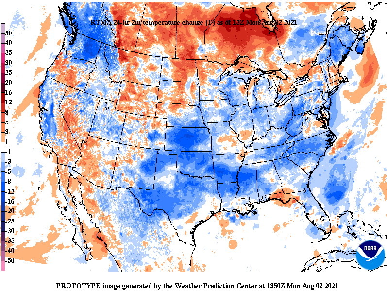
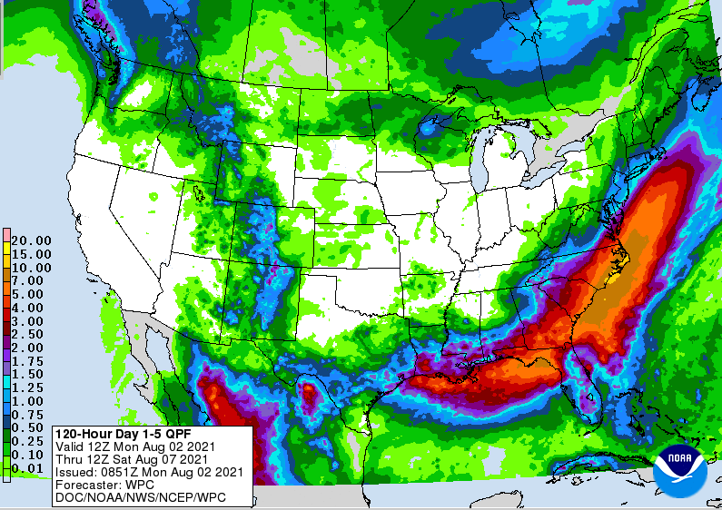
Good morning! We start out this week much cooler than last with temperatures across the area in the lower 70s. Highs this afternoon stay seasonable as well in the mid 80s. Looking below, the front that brought both rain and relief over the weekend continues to dig south. This is leaving much of the Southeast cooler than yesterday and we'll take that after our stretch of 90s. Looking ahead, a typical summer pattern awaits. Daily afternoon showers and storms will be possible each afternoon. Fortunately, highs stay bearable, averaging in the mid 80s each day. Our best chance of rain comes Wednesday afternoon, but again fading out by the overnight hours. Things have been pretty dry the latter half of July and they don't look to improve much into the start of August. Looking at the 5-day expected rainfall outlook, East Tennessee will be lucky to pick up 0.5 inches area-wide. This will likely add to our abnormally dry conditions in the days and weeks ahead, so something to watch for as we work toward fire season this Fall. Hazy conditions continue to haunt us today as smoke fills in from wildfires out west. No air quality alerts are out (for now) but many are in the yellow to orange, which could initiate some this afternoon or Tuesday. Those with health issues should be weary. Pre-recorded for 5pm show
0 Comments
Leave a Reply. |
Your trusted source for everything weather in East Tennessee.
Social Media
|


