|
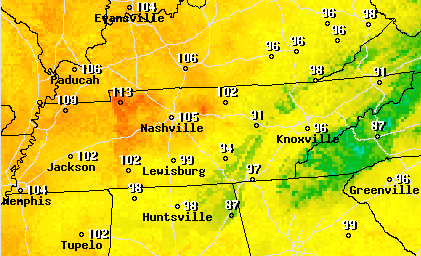
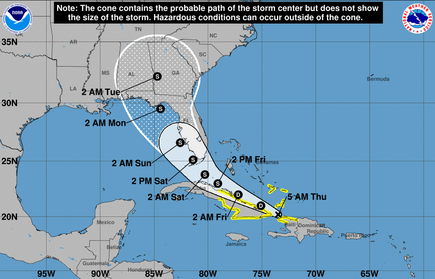
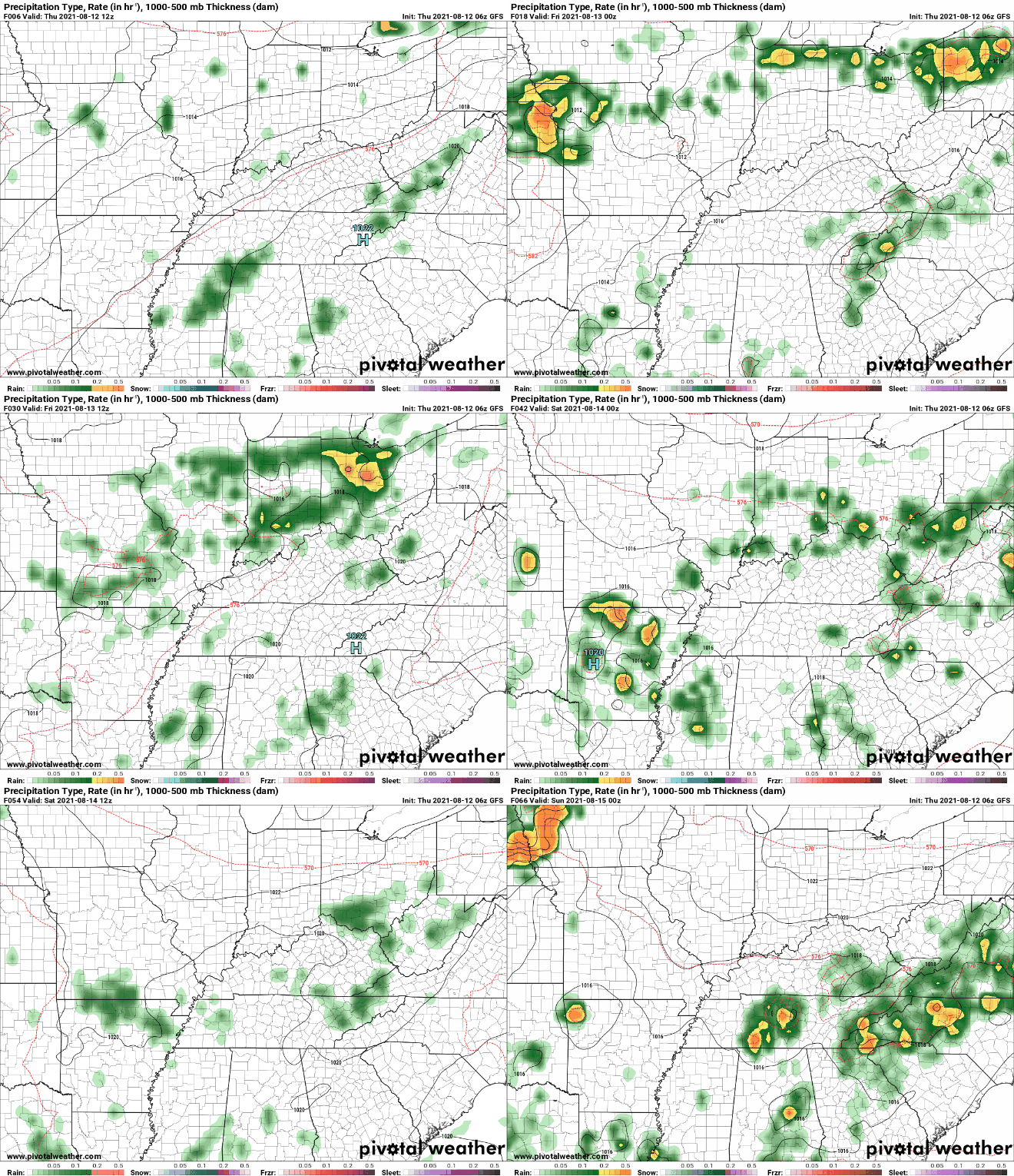
High pressure remains locked in across the Appalachians today. Given the clockwise circulation of the system, areas to our west will feel the warmest. As seen from the expected heat indices this afternoon (from the NWS), Western TN could feel as warm as 115 degrees. Things are a little cooler at home with most locations feeling closer to 100. Continue to keep your heat safety in mind....some relief is on the way into early next week. Fred, now a Tropical Depression, will keep working north and west. This system is expected to regain strength once through the Caribbean, potentially making landfall along Western Florida and into the Gulf States as a Tropical Storm or weak hurricane. This could also bring the opportunity for tropical moisture across East Tennessee by early to mid week. The theme remains very similar. Afternoon showers & thunderstorms then drying out into the overnight. We do have some changes arriving across the area by the early weekend, as a cold front will swing through bringing widespread showers and thunderstorms Saturday, Sunday, and into early next week (especially if Fred impacts the area). Gusty winds, lightning, and heavy downpours are the main hazards, but some storms could reach the severe threshold. Conditions will remain very muggy through Saturday before the cold front knocks down temperatures across the region. We'll have the latest drought map for the state tomorrow, hopefully will some improving news. Thanks as always for your support and we hope to see you back here tomorrow! Pre-recorded for 5pm show
0 Comments
Leave a Reply. |
Your trusted source for everything weather in East Tennessee.
Social Media
|


