|
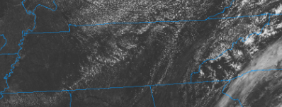
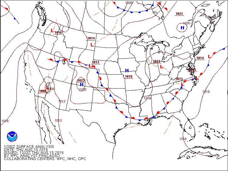
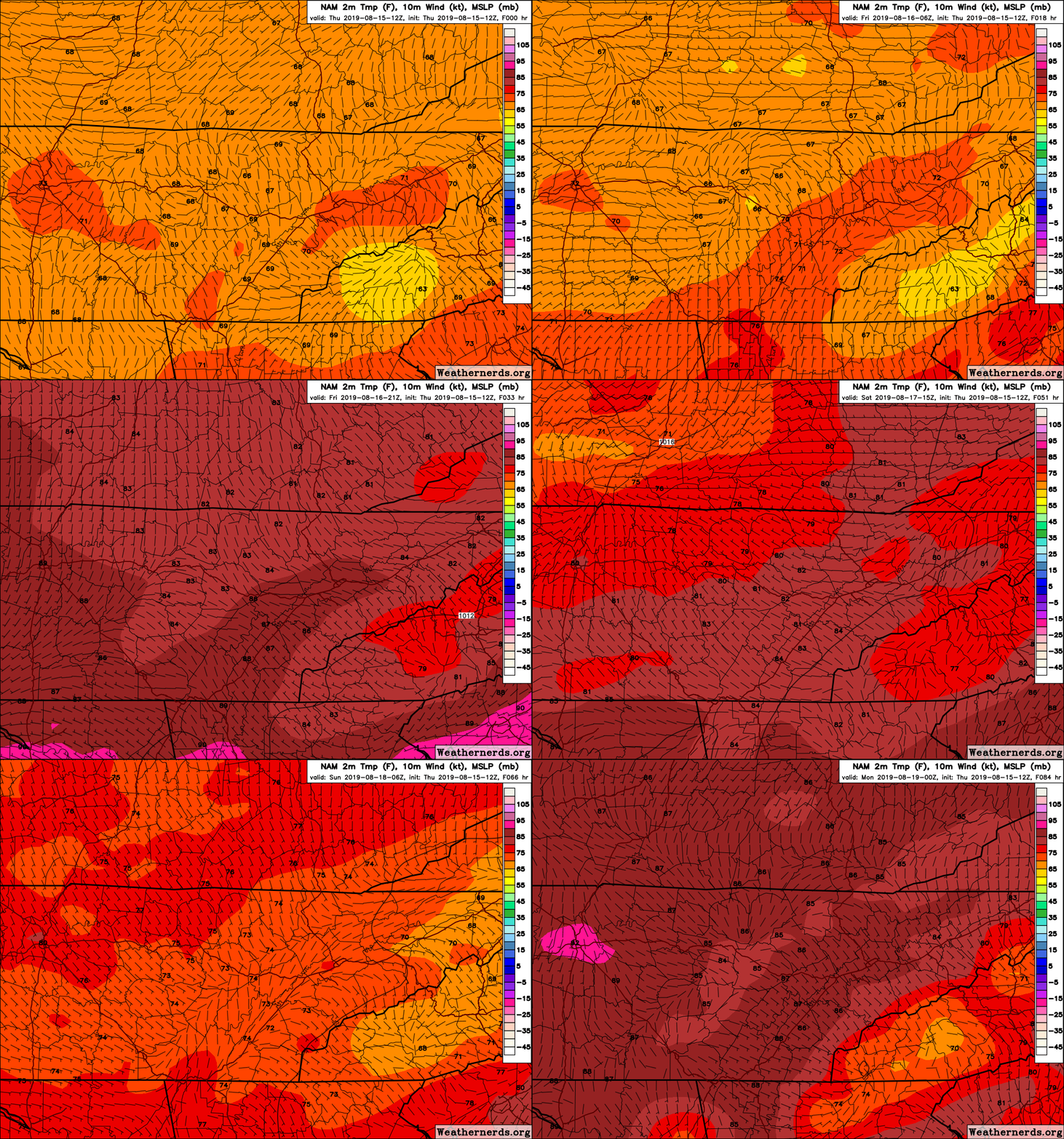
It has been a beautiful day so far with seasonal temperatures, plentiful sunshine, and limited cloud over (as seen on satellite below). Lucky for us, those high dew points have decreased a bit today allowing us to feel much closer to the true temperatures. Enjoy it while it lasts, as very warm temperatures are set to arrive starting tomorrow and into this weekend. Those higher dew points will also make a comeback, making us feel much closer to the triple digit mark by Sunday afternoon. Analyzing the current surface map, a high pressure system is continuing to settle into the area keeping us "high and dry" for the next several days. Unfortunately, as it meanders to the east by this weekend, we will get clockwise flow pulling in warm temperatures and muggy conditions once again. This will allow for your typical afternoon pop up storms to occur for Sunday and Monday . By Monday afternoon, a dominating ridge will settle over the central portion of the US maintaining those warm and muggy conditions for much of next week. Expect highs in the upper 80's and low 90's, as well as afternoon pop up storm chances each day. Model guidance shows that ridge playing its part by keeping us dry through Saturday afternoon. An isolated shower or two cannot be ruled out for the northern portion of middle Tennessee Friday afternoon and Saturday, but given the parameters needed, as well as ample moisture, this chance is low. Nonetheless, expect east TN to continue staying mostly sunny with high's increasing each day. Below is a model run over east TN depicting the temperatures through Sunday afternoon. As the GIF plays through, notice those purple colors by Sunday. Models are indicating very warm temperatures Sunday with high's in the low to mid 90's and "feel-like" temperatures pushing the 100 degree mark. For those of you who enjoy the lake, Saturday looks to be the perfect day as we will be warm with mostly sunny skies. Don't forget to share your outdoor weekend adventures with us by sending pictures to SecretCityWX@aol.com or tagging us on Twitter or Facebook @SecretCityWX. I hope everyone has a great rest of their week and remember to stay cool & well hydrated this weekend!
0 Comments
Leave a Reply. |
Your trusted source for everything weather in East Tennessee.
Social Media
|


