|
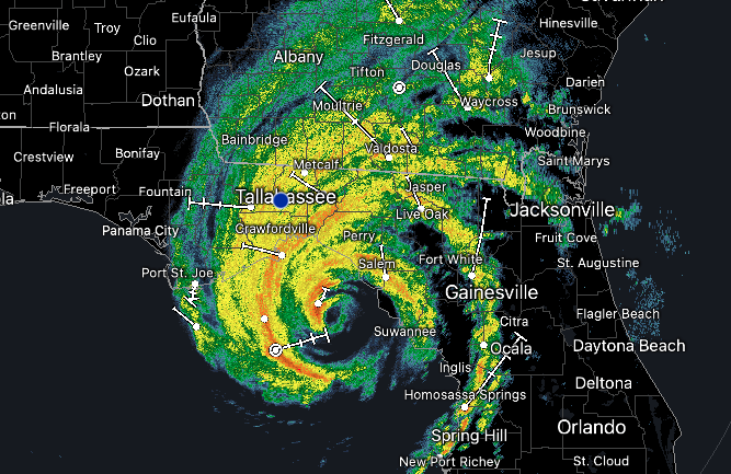
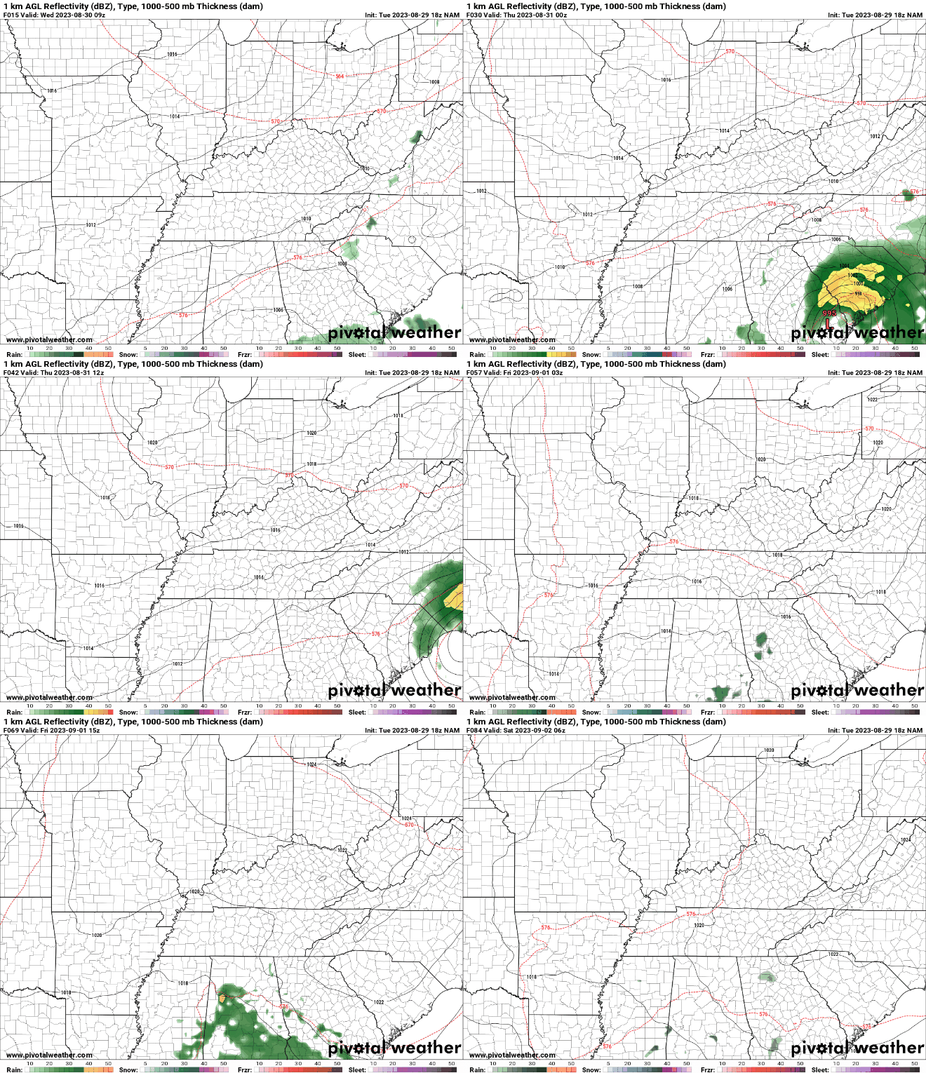
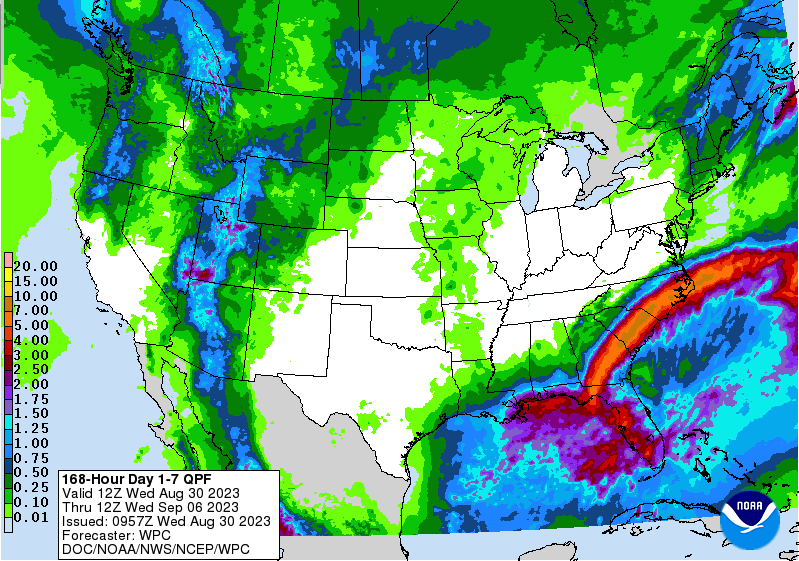
Good morning! Category 4 hurricane Idalia will be making landfall within the next couple of hours in Northern Florida, before working across the Deep South and back into the Atlantic by Friday. Check out the intensity of its outer bands and even the eye is clearly visible. For those interested, head outside this afternoon and the cloud cover you see will be associated with this system! The good news is, no real impacts are expected with Idalia. She will work through Georgia and the Carolina's before making her way in the Atlantic and hooking southeastward by the weekend. That said, a very isolated shower or two can't be ruled out this afternoon in the southeast, otherwise high clouds from the system will be the main result locally today. Cloud cover will clear out overnight, bringing an extended stretch of dry weather and warming temperatures each day thereafter. In fact, check out the precipitation forecast from the Weather Prediction Center (WPC). No rainfall (outside of the low end chances in the south today) are expected over the next 7 days. I could almost go as far as saying we may not see rainfall in even the next 10 days. Time will tell, but a strong area of high pressure will slide east through early next week, bringing a return of seasonably warm air to the region. Temperatures will be comfortable through Friday, before veering on the warm side of average Sunday into next week. Highs will range from the low to mid 80s, warming to the upper 80s and 90s Sunday through Tuesday. Have a good one and enjoy the beautiful stretch of weather we have through the end of the week. I will be off this next week for vacation, so follow along the latest forecast via Twitter & Facebook. Pre-recorded for 5pm weather broadcast
0 Comments
Leave a Reply. |
Your trusted source for everything weather in East Tennessee.
Social Media
|


