|
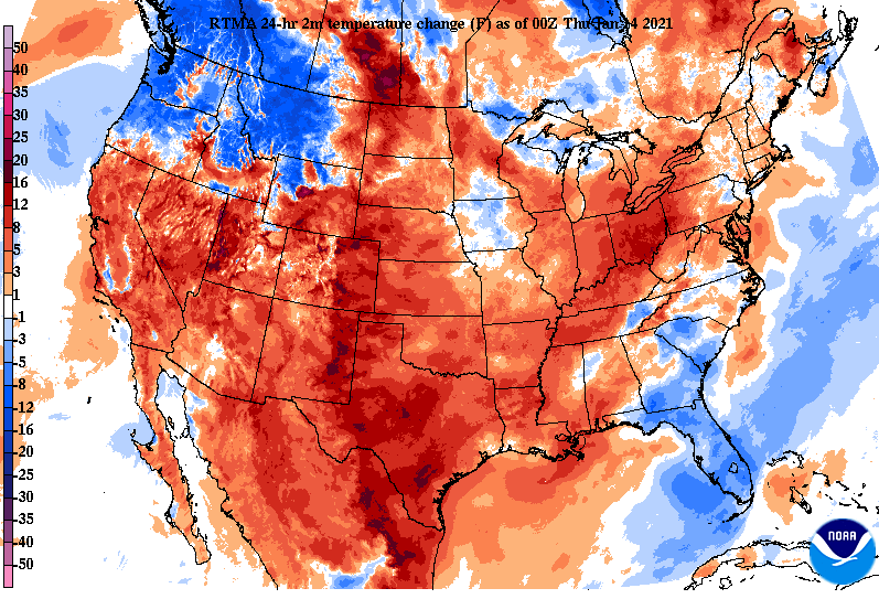
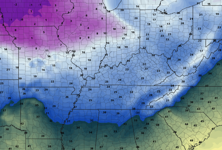
We start cool again this morning with a freezing fog advisory through 10am. Take a little extra time on the road ways as you could encounter some slick spots on your commute. If you take a look below, temperatures will warm up quick this afternoon as high pressure meanders across the south. We'll see high's in the low to mid 50's (10+ degrees above average in some spots). Unfortunately, we cool right back down for the weekend as a system to the north swings through Friday. Cloud cover will be on the increase today as a weak line of moisture pushes eastward. Higher elevated areas could see light snowfall/flurries into the morning hours Friday with the Valley locations likely seeing all rain. Following this initial line, temperatures will cool quickly through Friday and light snow showers/flurries will be possible late-morning and onward. Cloud cover sticks around Saturday with wrap-around moisture funneling in. With temperatures in the 30's, this will likely be in the form of snow at times on Saturday as well. Accumulations will be little to none, so road conditions shouldn't be an issue if you have weekend plans. Long term trends continue to hint at a very cold trend. Long term guidance suggests high's as low as the 20's for late January and early February. This could also be a good opportunity for snowfall across East Tennessee...time will tell. For now, be sure to enjoy the warm temperatures before a cold front knocks things right back down Friday, Saturday, and early Sunday. We will examine the latest drought map for the state tomorrow as new analysis will be published later today. I suspect the same to slightly worse conditions across Western Tennessee. Along with colder temperatures long term, the CPC suggests precipitation returning closer to average. Pre-recorded for 5pm show
0 Comments
Leave a Reply. |
Your trusted source for everything weather in East Tennessee.
Social Media
|


