|
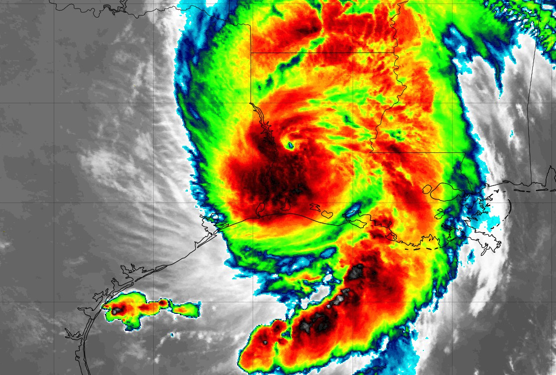
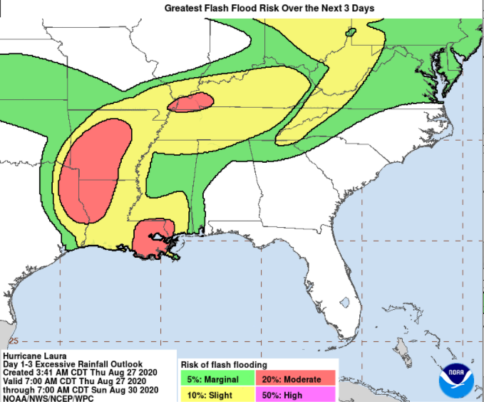
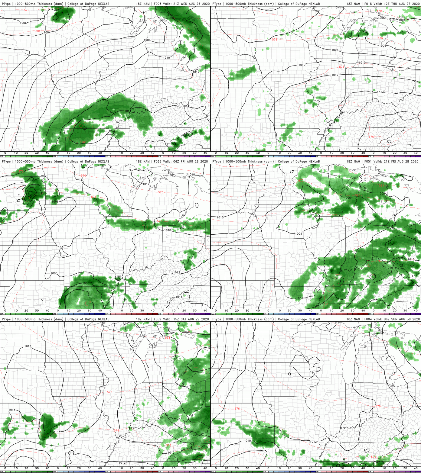
Wow, we have to unfortunately start the morning with Laura making landfall near Cameron, Louisiana as a category 4 (nearly 5) hurricane. Sustained winds were recorded to be 150 mph at the time of landfall (near 1am), this just being 7 miles per hour off of a category 5 hurricane. As this tropical system works north and eventually east, heavy rains will follow in its path. Since last night, the WPC has upped the flash flooding potential Friday into Saturday to a Slight risk. As we have been warning through the week, high rainfall activity will likely lead to isolated flash flooding across the viewing area. Similarly, the NWS in Morristown has upped the expected rainfall totals to more closely match ours. As tomorrow's timing becomes more concrete, what can we expect this afternoon? As we saw yesterday, an isolated shower or two will be possible in the afternoon. A bit of added cloud cover should keep things from flaring up this today but Laura will eventually bring scattered showers late overnight. For Friday, Laura will begin bringing showers into the region after noon. These will begin as on and off showers before likely being steady overnight. For high school football fans: pack the rain gear!! A few thunderstorms mixed in are likely, so let us know about delays and we will share that information accordingly. The forecast for Laura remains in tact from Tuesday's afternoon video update. We are still expecting 1 to 2 inches across the viewing area with some spots as high as 3" Confidence still lies with the heaviest rainfall (totals) being in northwestern TN and southwestern KY. Counties in these areas can expect totals a bit closer to the 2-3 inch mark. With the chance for several inches in a 24-hour period, flash flooding is something very much on the table. Have a way to receive reports late Friday through Saturday and take the proper precautions if you are in flood prone areas.
0 Comments
Leave a Reply. |
Your trusted source for everything weather in East Tennessee.
Social Media
|


