|
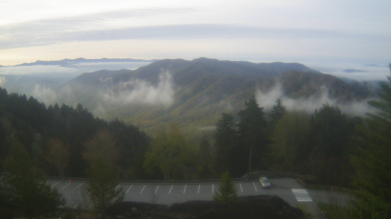
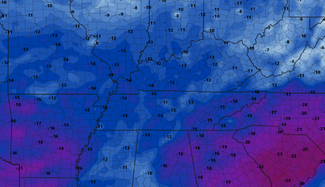
A gorgeous view over the Smokies this morning as fog begins to dwindle out with the rising sun. As we progress through the morning, sunshine will continue to stick around with highs this afternoon around 70 degrees (give or take). Cloud cover and cooler air Wednesday will knock temperatures back down into the low/mid 60s. If we compare this to the norm (average) for this time of the year, some locations will be 15+ degrees cooler than what we are used to. I promise we'll eventually kick the winter can down the road (especially later this month), we have just been locked into a dynamic pattern early to mid Spring. For precipitation the next several days, a system to the south looks to bring in moisture for parts of Wednesday and Thursday. A low working across the Panhandle of Texas and a front just to our south will provide isolated to scattered rain both Wednesday and Thursday afternoon. Rainfall totals look limited with a few hundreds of an inch possible area-wide. By Friday, high pressure will fill in from the north, bringing sunshine back to East Tennessee and temperatures much closer to average for the weekend. Enjoy the day...though temps remain below average, we have rebounded a bit from yesterday and with sunshine overhead it should feel rather pleasant. Some cloud cover and showers will be possible tomorrow and Thursday before better conditions return Friday and Saturday. Pre-recorded for 5pm show
0 Comments
Leave a Reply. |
Your trusted source for everything weather in East Tennessee.
Social Media
|


