|
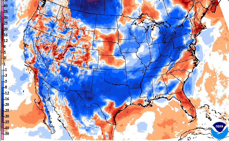
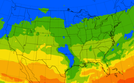
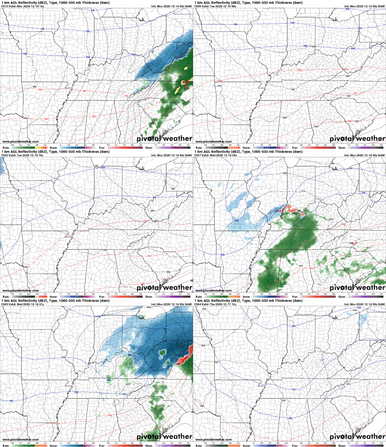
As the tail-end of showers works through this morning, we are seeing the cold air surging in. A transition to snow showers can be seen for parts of the northern Plateau and southern Kentucky with minor accumulation possible. The bulk of any snowfall will accumulate in southeastern Kentucky and the Smokies of East Tennessee. Gradual clearing will take place throughout the day today with sunshine returning into Tuesday. Something we haven't talked about much lately are the UV indices. Reason being? The UV index is low through the late Fall and Winter months due to the angle of the sun. As you can see below, values are in the 2 (light green) to 3 (darker green). The current loop of showers across the region can be found under the "Radar" tab above. For the most part, this lines up with model guidance this morning. Anticipate things to begin dying out by the mid-morning hours with cloud cover to slowly clear out through the remainder of the day and overnight. A brief area of dry air falls into Tuesday before another round of showers & snow showers arrives Tuesday night and Wednesday. Similar to the event moving through our area now, we'll see snow showers overnight Tuesday then a transition back to rain showers throughout the first half of Wednesday. Unfortunately, snow accumulations will be a bust again this week. A few flakes can't be ruled out here in the valley but we'll have to wait some more time before a good snow returns to East Tennessee. For now, try staying warm as temperatures will be in the 40's for much of the work week. We also would like to announce we are accepting sponsors for this years Secret City Weather Almanac. Sponsorship opportunities include Full, Half, and Quarter page slots. Premium options are also available. If you are interested in being a sponsor for this year's release, visit http://www.secretcityweather.com/sponsors.html. Donations are also welcome and can be done so through the "Donate Today" button on our home page. Pre-recorded for 5pm show
0 Comments
Leave a Reply. |
Your trusted source for everything weather in East Tennessee.
Social Media
|


